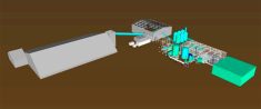
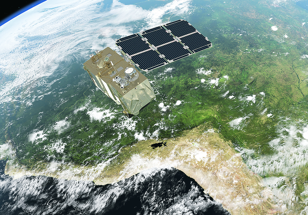
BASF Digital Farming has inked a deal with VanderSat and can now provide daily biomass images of crops, regardless of cloud cover.
VanderSat’s Cloud-free Biomass product uses a patented retrieval method for passive microwave technology, active microwave from the European Space Agency’s Sentinel-1 satellite constellation, as well as optical images from the Sentinel-2 constellation.
VanderSat then interprets the data to provide a daily measure of crop biomass.
This information will now be integrated with the BASF Xarvio Field Manager product.
The biggest obstacle for tools that rely on satellite imagery is cloud cover, but VanderSat synthetic aperture radar has solved this problem, said Brent Nicol of Xarvio Canada.
Read Also
Growing garlic by the thousands in Manitoba
Grower holds a planting party day every fall as a crowd gathers to help put 28,000 plants, and sometimes more, into theground
“It’s basically microwaves. What they are is they’re a longer wavelength so when the satellite goes over, these longer wavelengths can actually penetrate cloud cover and get a closer look at the actual biomass on the field,” Nicol said.
“We use our leaf-area index, combine it with satellite imagery that we bring in, put it through a biomass proxy through VanderSat, and then we’re able to produce a really high-level cloud free image of your field.”
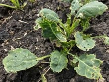
Products that use normalized difference vegetation index often use images from satellites to provide crop biomass readings.
However, these satellite images are not available on cloudy days and this method only measures spectral greenness.
Cloud-free Biomass by VanderSat also measures biophysical parameters and water content in vegetation with a 10-metre resolution to calculate crop growth.
Nicol said Xarvio’s goal is to provide daily imagery throughout the growing season.
The information can be accessed through its Field Manager portal, a platform that is both web and app based.
Users can sign up online or through the company’s apps, put in the field borders and then assign their crop and seeding dates.
“Essentially what happens after that is two weeks after the seeding date we’ll start collecting imagery for that field. And then from there they can go through and actually see all the biomass data that we brought in,” Nicol said.
The data can be used to target areas in a field that have nutrients deficiencies, or zones affected by pests or disease.
“We can track all that as well as we do have a zone spray option, where the users can use these maps and go out and only spray a fungicide to the areas of the field that need it, and hold back on those areas where it really makes no economic sense to spray a fungicide,” Nicol said.
Xarvio’s Field Manager uses weather data for disease forecasting, and this information can be used with the biomass data to help producers make agronomic decisions.
“We have a direct connection into the John Deere Operation Center, so we work fluidly with them. We also have the ability to work with any sprayer out (on) the market, whether it’s Case New Holland or Raven,” Nicol said.
The system has been tested in Europe and North America and is expected to be available to Canadian farmers by the end of March 2021.
The cost of the service is $450 per year.
“That gives the users access to all the satellite imagery including what we talked about with VanderSat, the growth stage modelling, field specific weather, disease tracking, and zones spray modelling,” Nicol said.
New users will get two fields for free to help them decide if the product will help them.