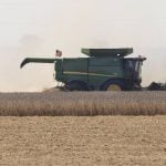
Ukrainian farm says precision agriculture technology helps it offset lost yields due to an inability to seed all of its fields
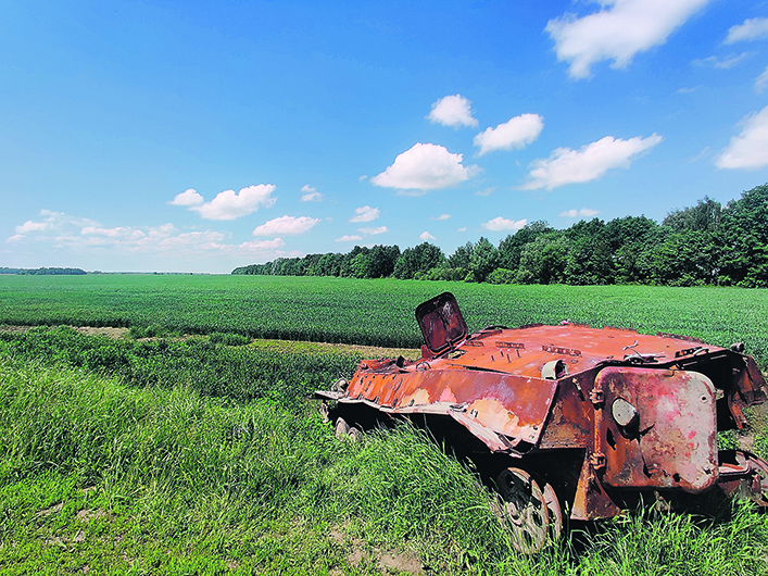
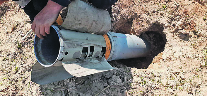
Farming has always had its occupational hazards, but the dangers have increased significantly this year for farmers in Ukraine.
“We have 120,000 hectares of land, with the majority in the Chernihiv, Poltava and Sumy regions,” says Oleksii Misyura head of research and development at IMC, one of the largest agricultural holdings in Ukraine.
“We didn’t sow many fields this year due to the war. There are tanks and empty shells lying around. Some fields are mined.
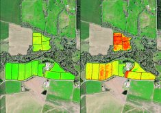
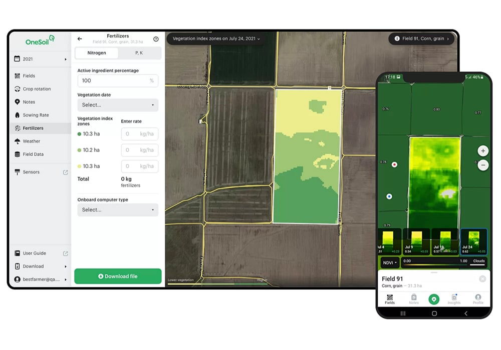
“In such conditions, precision farming helps to optimize resources. With OneSoil, we calculated how much we can save by redistributing fertilizers between different productivity zones, reducing the rate in some field areas and increasing it in others, thus lowering input consumption and increasing profits. Last year, this approach allowed us to improve the average profit per hectare by $32. This year we have already used variable rate application of fertilizers on 25,000 hectares.”