
It’s hoped a streamlined computer system will allow all water agencies in the basin to work with the same information
REGINA — The board that oversees transboundary water apportionment for the Souris River wants its work to be more transparent and understandable.
At a June meeting of the International Souris River Board (ISRB), the Canadian and American co-chairs said apportionment generally goes well, and the agencies tasked with that job are doing it correctly. However, Eric Volkman, director of the U.S. Geological Survey’s Dakota Water Science Centre in Rapid City, S.D., said there are questions about transparency.
He is the American co-chair.
Read Also
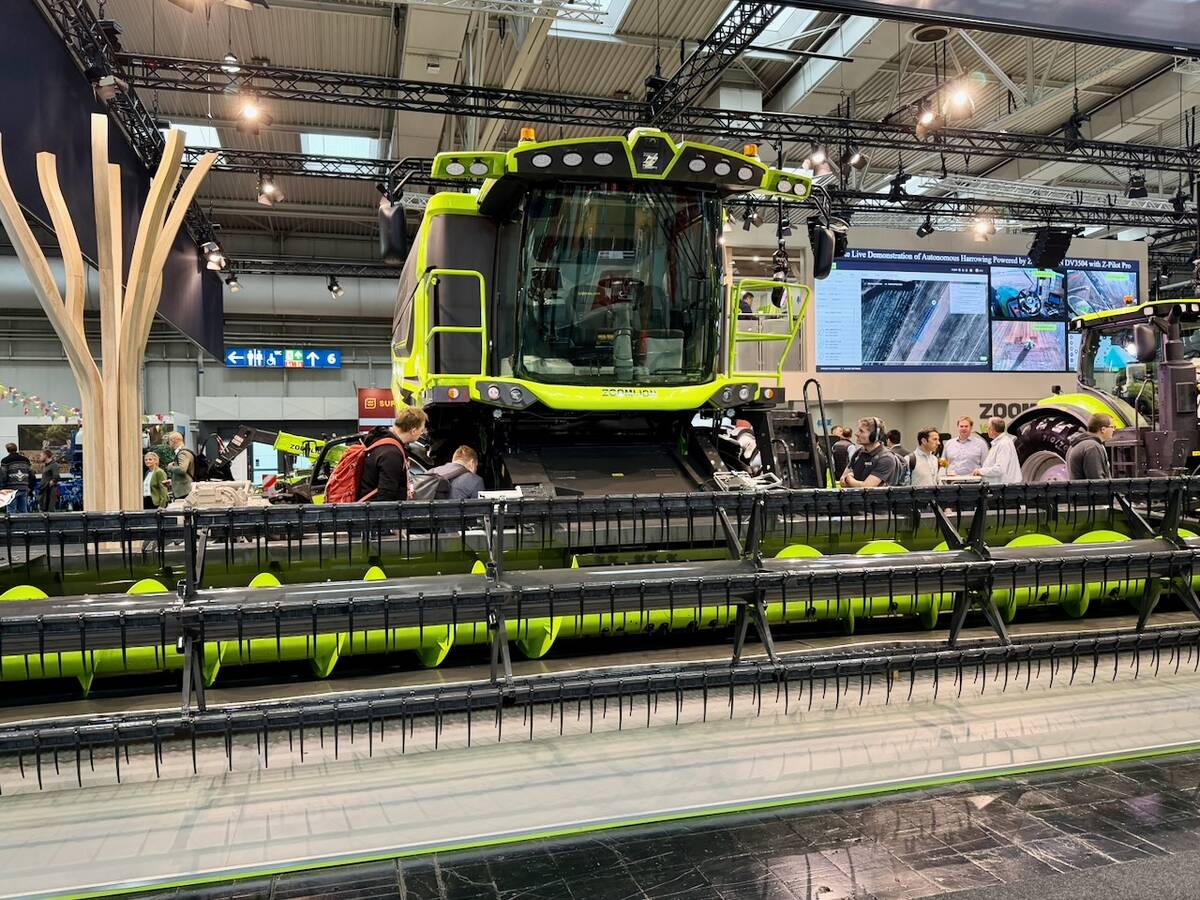
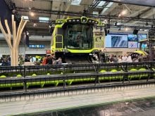
Agritechnica Day 3: Hybrid drive for a combine, data standards keep up to tech change and tractors of the year
Agritechnica 2025 Day 3: Hybrid drive for a combine, data standards keep up to tech change and tractors of the year.
“I have not heard any concerns that anything is being done unfairly or inappropriately,” he said after the meeting.
“But right now it is very much a black box even for technical experts on either side of the border. That’s why the Python coding is so important.”
The board has implemented a Python computer coding project to improve the apportionment process.
The Souris begins in Saskatchewan, gathers water from tributaries Long Creek and Moosomin Creek and flows into North Dakota, where it joins with the Des Lacs River just before Minot.
It then curves back north and enters Manitoba near Westhope. It joins the Assiniboine River downstream of Wawanesa, Man. The basin also includes large reservoirs such as Rafferty, Grant Devine and Boundary in Saskatchewan, Lake Darwin in North Dakota and several large U.S. Fish and Wildlife reservoirs.
Since 1909, the Boundary Waters Treaty has been in place to guide transboundary water movement. Agencies such as the Water Security Agency in Saskatchewan, the U.S. Corps of Engineers, Fish and Wildlife and the Manitoba government are responsible for the actual apportionment.
Canadian co-chair Bruce Davison, who works for the federal boundary waters engineering unit in Saskatoon, said a streamlined computer system will help.
“These are calculations that were previously dealt with using spreadsheets, and we’ve been moving to a more automated approach that is what I refer to as more technically transparent,” he said.
It’s easier to verify calculations in Python versus an Excel spreadsheet, he added. All agencies will be able to work with the same information, which will improve technical transparency.
“Previously, all agencies used their own spreadsheets or computer codes, and this really levels the playing field,” he said.
“The Python coding will likely not let a general member of the public understand how the apportionment was made, but it will let hydrologists and people who know how to code in Python understand and see in real time how those calculations are being made.”
The public will also be able to use a hydro-visualization tool the ISRB has developed. It provides real-time estimates of reservoir levels and stream flows. Davison said in future it may be possible to link the code to the visualization tool so that people can see current apportionments.
This matters more when it’s dry, he said.
“When it’s wet, it’s the flooding that matters. The apportionment is like a total sideshow,” he said.
However, there could be security concerns with putting too much information online.
“We have concerns about transparency and being forthright. We also have concerns about making sure that only the people that are authorized to enter data or manipulate the code or the formula have access,” Volkman said.
Both chairs said they all hope to be able to solve the challenge of hydrological models that don’t work in the Prairie pothole region where the Souris River runs.
Davison said the apportionment model works well, but the land surface modelling component has been neglected.
“Amongst the hydrology community, the Prairies is well known as the graveyard of hydrological models,” he said.
“This is where hydrological models come to die.”
However, efforts funded through the International Joint Commission (IJC), which the ISRB falls under, could “crack that nut,” he said.
Volkman explained that apportionment calculations are done on the main stem of the Souris, which although sometimes small, acts predictably.
“The pothole region in general is where things get wonky as water goes underground and pops up in another pond and then goes underground again,” he said.
“It’s hard to model.”
He said in addition to apportionment, the ISRB has also been tasked with water quality. Previously, water was treated like a utility, but now the board is working toward an ecosystem approach.
It recently completed two reports on continuous dissolved oxygen monitoring on the river and a water quality trend analysis. Those studies are available online through the IJC.
In addition to Python coding and the hydro-visualization tool, the ISRB is also working with academics to downscale climate change models to a scale that matches a small river basin.
Meanwhile, only the Grant Devine Reservoir is expected to reach full supply level this year, while the others are at average levels.