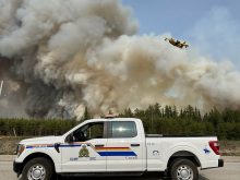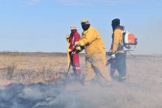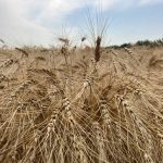

The Saskatchewan Public Safety Agency has implemented a provincial fire ban for crown lands, provincial parks and the Northern Saskatchewan Administration District, effective immediately.
This includes the area north of Highway 16 and applies to open fires, controlled burns and fireworks.
Many municipalities in the grain belt have already issued fire bans and there is a map available at saskpublicsafety.ca.
Read Also
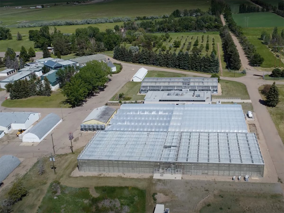
Alberta crop diversification centres receive funding
$5.2 million of provincial funding pumped into crop diversity research centres
SPSA fire commissioner and president Marlo Pritchard said that although the May long weekend approaches, the decision to issue a widespread ban was made with safety in mind.
On Tuesday, the province had already had more than double the usual amount of fires for this time of year. There were 29 fires burning Tuesday morning and six of those were uncontained.
The daily fire risk map, also located on the SPSA website, shows extreme risk for most of the province. The risk is moderate in pockets of the far southeast where there has been recent rainfall.
Contact karen.briere@producer.com