The growing season got off to a great start for many Saskatchewan producers, with warm April temperatures followed by significant rain on early seeded crops.
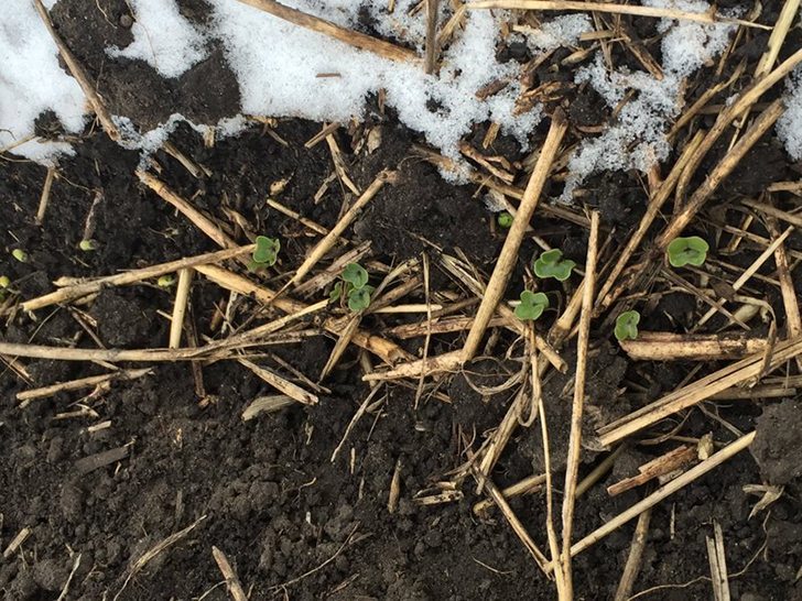
However, a hard frost on emerging crops across southern and central Saskatchewan has dealt a major setback for some growers.
Rosetown dropped below 0 C for six hours in the early morning of May 13, reaching as low as -5 C. Val Marie, in southwestern Saskatchewan, spent six hours below zero and was as cold as –4 C, while Saskatoon spent eights hours below zero and got as cold as –4 C, according to Environment Canada.
Read Also
Alberta crop diversification centres receive funding
$5.2 million of provincial funding pumped into crop diversity research centres
Weatherfarm stations reported temperatures as cold as -7 C in southern and central Saskatchewan.

Seeding progress was well ahead of average for this time of year, with 58 percent of the crop in the ground in southwestern Saskatchewan, according to the latest Saskatchewan crop report.
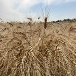
Some of this early seeded crop in southern and central Saskatchewan had already emerged and was likely damaged by the frost. Early seeded canola, flax and mustard are especially vulnerable to frost, and southwestern Saskatchewan is a mustard growing area.
Early seeded pulses will also likely be set back in areas that received prolonged frost.
“I talked to agronomists down there (southern Saskatchewan) early this week and they had peas that would be at the three node stage above ground, and they were getting ready to do some in-crop spraying,” Sherrilyn Phelps, agronomy and seed program manager with Saskatchewan Pulse Growers, said May 13.

The recent moisture across south and central Saskatchewan may have provided some protection for the plants. However, Phelps said moisture needs to be on the surface of the plant to provide protection.
“Having the moisture in the soil might help produce some dews overnight. But once you get freezing temperatures, and once that water starts freezing, then it just starts freezing the plants,” Phelps said.
The following maps from the U.S. Environmental Modeling Center at NCEP show the temperature forecast for May 13 to May 19, and then May 20 to May 26.
The first map suggests cooler than normal temperatures will continue until May 19, but the second map suggests there will be a shift to warmer than average the following week.

The following two weeks, from May 27 to June 9th look like they will be warmer than average, as the following maps show.

The short range precipitation forecast, by the U.S. National Weather Service Weather Prediction Center, now shows a chance of showers moving into the Prairie provinces later on in the week.
This 48 hour accumulation map for 6 p.m. Tuesday to 6 p.m. Thursday shows southern Alberta has a slightly greater than normal chance of receiving some rain.

From 6 p.m. Thursday to 6 p.m. Saturday all of the Prairie growing region has a greater than normal chance of precipitation, and southwestern Alberta could get significant showers.

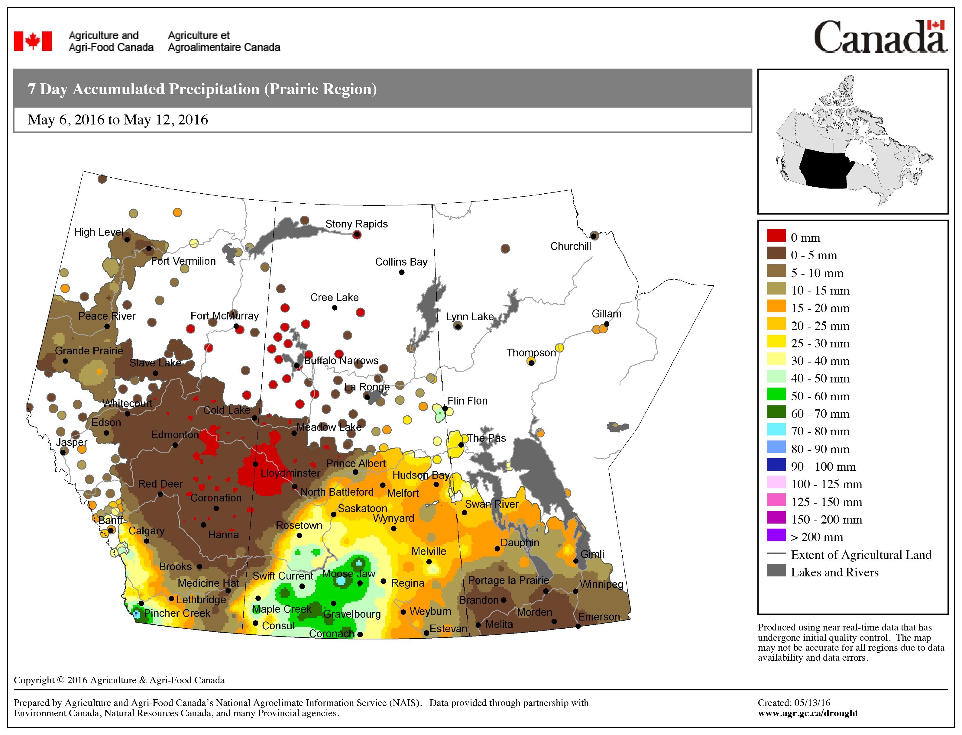
Here is the 7-day accumulated precipitation map for the Prairie region. Northwestern Saskatchewan missed out on the recent rains, as did most of Alberta and Southern Manitoba.
@CDNag No crop up for us but what was will be probably be damaged, this is the ice in our dog dish this morning. pic.twitter.com/Q9rMNbqPEB
— Ostrowski Farms (@vns565) May 13, 2016
@CDNag barley, canola, and large green lentils all seemed to come through frost just fine. Between Rosetown and Kindersley
— Carl deConinck Smith (@CarldeConinck) May 14, 2016