Get used to wet springs and seeding delays, says a weather expert.
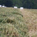
The excessive moisture that has taken acres out of production and pushed back seeding dates on the Canadian Prairies the last few years will be around for another decade or two, said Jeff Johnson, chief science officer for Schneider Electric, the parent company of DTN.
The Pacific decadal oscillation (PDO) switched to a negative phase about five years ago, indicating a cooling of sea surface temperatures in the northern Pacific Ocean.
That negative phase strongly correlates with increased precipitation in the winter and spring on the Prairies, particularly in the southern half of the region.
Read Also
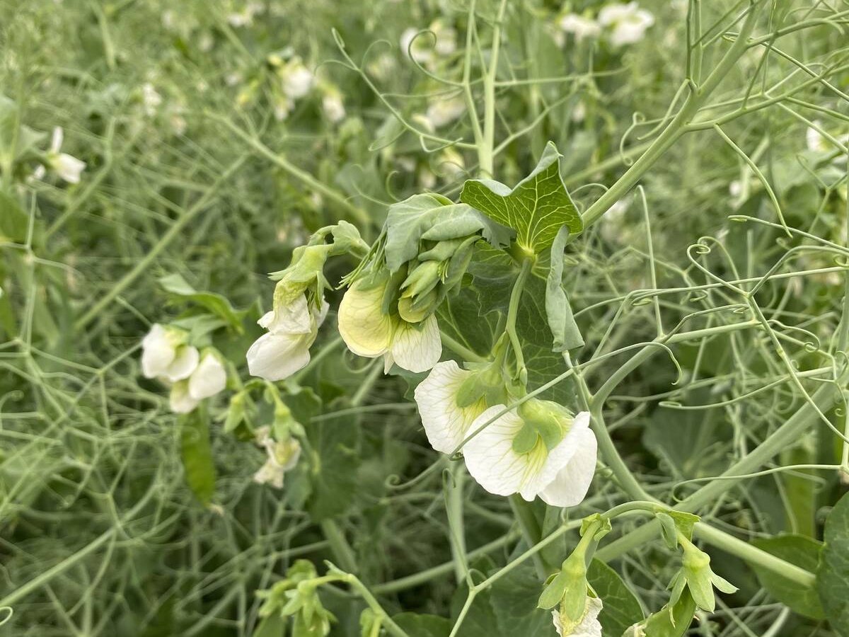
India slaps 30 per cent import duty on yellow peas
India has imposed a 30 per cent duty on yellow pea imports with a bill of lading date on or after Nov. 1, 2025.
Johnson said the PDO tends to remain in the negative phase for 20 to 30 years.
“There are individual variations, but the longer-term trend over the next 10 to 20 years probably would tend to favour more of the wetter springs,” he said.
An El Nino could offset the PDO influence because it tends to bring drier conditions to the Prairies. Forecasters expect an El Nino to develop this year.
“Most likely it won’t be a repeat case of the really wet conditions next spring,” said Johnson.
However, a negative PDO is typically associated with an increased frequency of La Nina events, which amplify the wetter pattern for winter and spring on the Prairies.
Meanwhile, the Atlantic multidecadal oscillation (AMO) recently switched to positive phase, indicating a warming of the northern Atlantic Ocean.
A negative PDO and a positive AMO typically results in drought in the southwestern United States, which is what has occurred. It started in Texas about four years ago and has spread to other winter wheat producing states.
It will continue to be a factor in crop production for at least another decade, said Johnson.
Another big weather factor for the coming decades is climate change, which is causing weather patterns to stall.
“We’re seeing more incidences of extreme dryness or wetness, where you get locked into one of those patterns and it’s really hard to break out of it,” said Johnson.
The same goes for temperature, where warm or cold patterns are lasting for months at a time.
“We’re not seeing the weather transition from one system to another as frequently,” he said during a DTN webinar on the topic.
One theory is that the warming of the Arctic region is decreasing the temperature contrast between northern and southern air, which in turn is causing weaker jet streams across Canada and the northern U.S.
Weaker jet streams cause weather systems to linger rather than moving along, which means that when it rains it rains a lot and when it is dry it is parching dry. That is causing more heat waves, floods and droughts.
An examination of 100 years of data from 1,221 weather stations in the U.S. shows that 30 percent of the country is experiencing extreme weather events compared to 15 percent in the 1960s and 1970s.
One of the biggest implications for agriculture is the sharp rise in extreme rainfall events.
Pensacola, Florida, recently received 610 millimetres of rain in one day, which is more moisture than most hurricanes and tropical storms deliver.
“We’re not necessarily seeing the total amount of rain go up, but it’s being packed more into individual events,” said Johnson.
Bryce Anderson, senior agricultural meteorologist at DTN, said the trend is causing soil erosion and tremendous investment in drain tiles on farms in the central U.S.
“That has been not only extensive but expensive because drain tile installation goes for around $500 per acre,” he said.
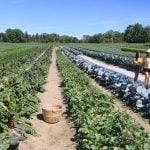
Anderson said there tends to be more rainfall in the spring and not as much in the summer, which is delaying seeding and forcing farmers across the Midwest to invest in irrigation equipment.
There has also been a surge in the frequency and intensity of droughts. Sixty-five percent of the U.S. was in drought at one point in the summer of 2012.
As well, the speed that drought develops is astonishing.
“We have had flash droughts, where drought conditions form in a period of weeks instead of months, now twice in the last three years,” said Anderson.
While extreme weather has increased, there has actually been a reduction in the most volatile weather events, contrary to popular belief.
When this year’s hurricane season starts, it will have been nearly nine years since the last Category 3 or higher hurricane made landfall in the U.S. It is a record and well above the long-term average of 1.5 years between major hurricanes.
“We have definitely been in a drought of major hurricanes,” said Johnson.
The same goes for tornadoes. There were 943 recorded in the U.S. last year, which is well below average, and this year is starting out the same way.
Johnson said that is also linked to warming in the Arctic region. The temperature difference between the north and the south has been reduced, resulting in fewer violent hurricanes and tornadoes, although there are more heat waves, floods and droughts because of the weaker jet stream.
There has also been higher pressure in the Arctic region over the past decade, which is influencing weather patterns.
For instance, a particularly strong area of high pressure over Alaska this winter diverted the jet stream down over North America, bringing the cold polar vortex from the North Pole along with it. That resulted in a bitterly cold winter in Canada and the northern U.S.
Johnson said the future holds more of the same stalled weather patterns and increased volatility, despite a slowdown in the pace of global warming over the last decade.