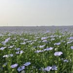
Flora, fauna and wetlands are monitored in the grassland and parkland region to determine the health and biodiversity of the landscape
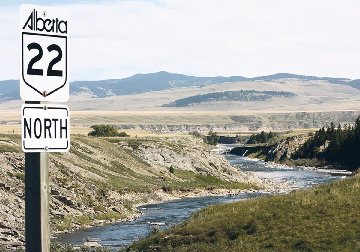
PINCHER CREEK, Alta. — About 63 percent of land in Alberta’s prairie region, which is most of the area south of the North Saskatchewan River, has a human footprint.
That means it has been affected by human activity that permanently changed the landscape.
It’s a big number, said Kurt Illerbrun, communications adviser with the Alberta Biodiversity Monitoring Institute (ABMI). Most of that footprint is a result of agriculture, although the area affected by it is stable.
It’s the ABMI’s job to measure the state of biodiversity in the province. As an arm’s-length non-profit and independent body, it collects data and makes it available to anyone for free.
Read Also
New coal mine proposal met with old concerns
A smaller version of the previously rejected Grassy Mountain coal mine project in Crowsnest Pass is back on the table, and the Livingstone Landowners Group continues to voice concerns about the environmental risks.
Illerbrun shared information from the 2015 study on biodiversity in Alberta’s grassland and parkland region with members of the Southern Alberta Land Trust on March 29.
“I don’t need to tell the folks in this room the significance of the prairie region,” he said.
“Of course it’s a diverse area of huge importance to Alberta, both economically, socially and culturally.”
By dividing Alberta into 1,656 sites, each about 20 kilometres apart, ABMI is able to take a snapshot of the flora, fauna, environmental health and human activity by monitoring each site at least once every five years, he said.
In its 2015 report, the most recent available, the institute found a lower than expected abundance of native grassland species in the prairie region. It also found non-native plant species in all sites, and an average of nine non-native species detected at each site.
The biodiversity of the region is considered to be 53 percent intact. ABMI uses intactness as a measure of how much more or less common a species is, relative to its respective reference conditions. A parking lot, for example, would be zero percent intact.
“With biodiversity 53 percent intact today, there are challenges associated with the management of native prairie species and habitat in the prairie region, particularly in the parkland natural region, where much of the area has been converted to agricultural land uses,” reads the report.
The 10 vascular plants highlighted in the printed report that are considered to be the most sensitive to human footprint are less intact, some by a large margin. On average within the prairie region, they are 45 percent intact.
Grassland birds in the prairie region were measured to be 66 percent intact, on average. Long-billed curlews and horned larks have increased their intactness, but Baird’s Sparrow, Sprague’s Pipit, Chestnut Collared longspurs and Grasshopper sparrows are losing ground. The report also highlights the status of armoured mites, an indication of soil health, and of non-native plants, mosses and species at risk.
Human footprint is measured in terms of agriculture, forestry, human-created water bodies, mines, wells and energy features, transportation and urban development.
Detailed information is available at www.abmi.ca.