A lot of words could be used to describe the weather in 2009, including several of the four-letter variety, but David Phillips chose a slightly longer word.
“It was challenging. I think to me, that was the word I would use most often,” said Phillips, Environment Canada’s senior climatologist.
“It was a challenging year because of the extremes and because there were seasons out of whack.… September was the summer we didn’t get and November was the October we didn’t get. You just can’t plan your life and your business with those kinds of weird and wild (weather events).”
Read Also
Canadian Food Inspection Agency slammed for handling of bovine tuberculosis case
The federal government leans heavily on producers to “take one for the team” and risk their livelihoods without any reassurance of support.
Of all the strange weather in 2009, Phillips said possibly the most challenging for farmers was the lengthy period of dry weather in central Alberta stretching back into 2008.
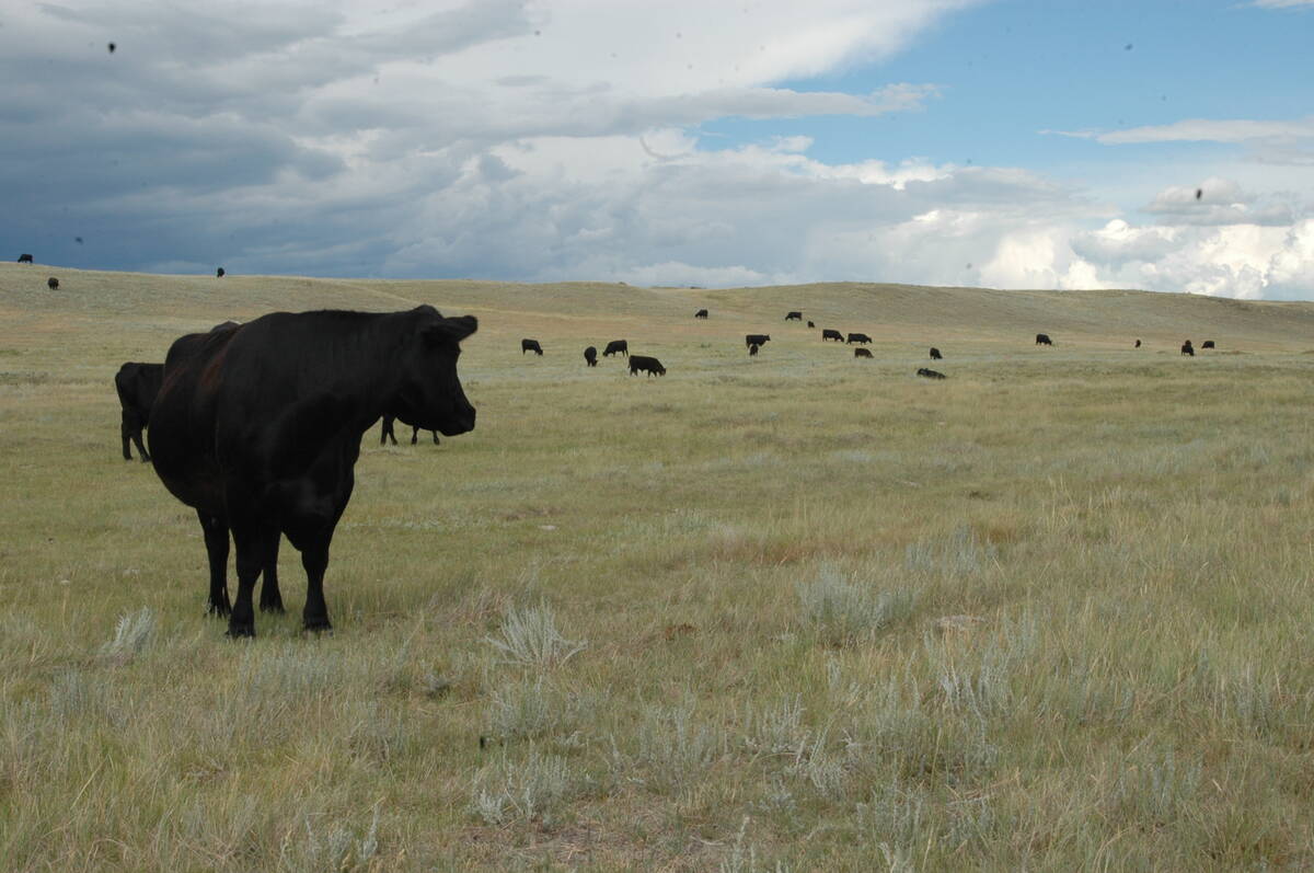
In Edmonton, the period between the summers of 2008 and 2009 was the driest 12 months on record. The drought forced eight municipalities to declare a state of emergency as cattle producers watched pastures and forage crops die from lack of moisture.
The first six months of the year were also cold.
“In Regina, for example, on March 11, the temperature was – 36 C,” Phillips said, which was the coldest day ever in Regina that late into a winter.
The cool weather persisted into spring. In Brandon, a typical May has a daily average temperature of 11.8 C, but this May the average temperature was 8.4 C.
The frigid temperatures stunted plant growth and forecasters began to predict a dismal crop for 2009.
“The crops definitely are delayed, anywhere from a minimum of a week to as much as three weeks,” Bruce Burnett, director of weather and crop surveillance with the Canadian Wheat Board, said in June.
Alberta and Saskatchewan were cool and dry but Manitoba was cold and wet. A record snowfall in North Dakota at the end of 2008 prompted fears of flooding on the Red River. Those fears were realized in May when the second largest flood in Manitoba’s history covered thousands of acres of cropland south of Winnipeg.
North of the city, only 25 percent of the cropland around Arborg was seeded as double or triple the normal amount of precipitation fell from July 2008 to June 2009.
Despite the challenges, Phillips said 2009 also featured good weather stories.
“September turned out to be warmer in many parts of Manitoba and Saskatchewan than any of the summer months,” he said, while the cool summer reduced the number of weather disasters in Western Canada.
“We saw in Saskatchewan a 10th of the hail damage this year compared to last year,” he said.
November was also much warmer than usual and the surge of heat, after a wet October, salvaged the harvest for many producers.
The daily average temperature in Coronation, Alta., was 1.28 C this past November, compared to the 30-year average of -5.8 C.
That was followed by a cold snap in early December, with temperatures dropping to – 46 C in Edmonton.
Phillips said the extremes of 2009 might symbolize the new weather regime, where abnormal weather is normal.
“What we’re seeing is the new climate,” he said. “Expect the unexpected.”