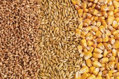
CHICAGO, June 29 (Reuters) – Wet conditions are forecast to persist in southern portions of the U.S. Midwest this week, threatening yield prospects for corn and soybeans there and slowing the harvest of soft red winter wheat, meteorologists said on Monday.
Light rains are likely through Tuesday, they said, but storms will pick up after that.
“Wednesday through Friday is when the heavier rains begin to build into the southern Midwest,” said agricultural meteorologist Don Keeney of MDA Weather Services.
Those storms should bring 3 inches (7.6 cm) or more of rain to southeast Missouri, southern Illinois, southern Indiana and Kentucky, Keeney said, noting that those areas have been saturated over the last month.
Read Also
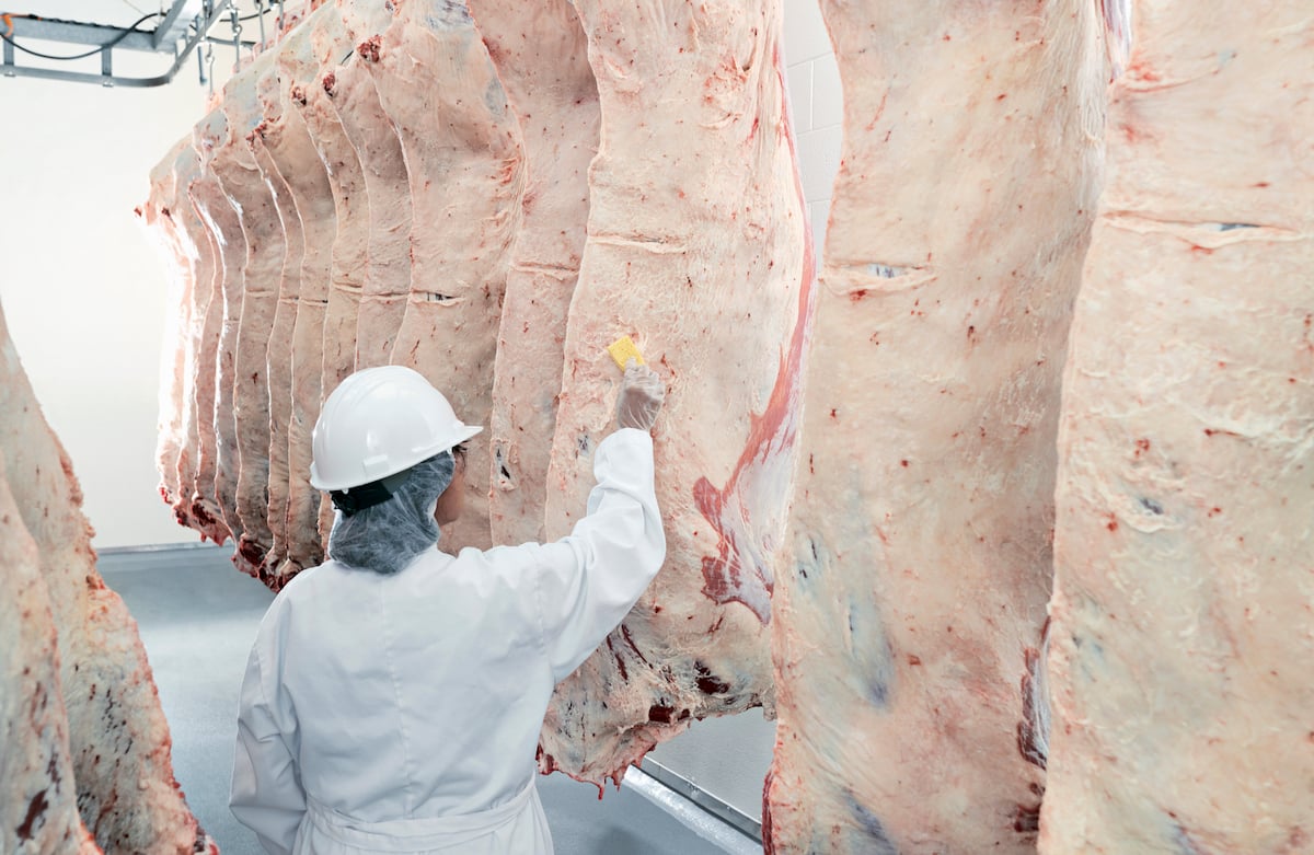
U.S. livestock: Cattle, hogs end week on high note
Cattle contracts and nearby hog futures ended the week on a high note after a week rife with losses. Most-traded…
Forecasts for July 4-13 are similar.
“An active storm track continues in the southern Midwest in the six to 15-day (period) as well, maintaining surplus moisture in over one-third of the belt, and standing water in low-lying areas as well as flooding in river bottoms,” Commodity Weather Group said in a daily note.
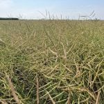
As a result, it said, “late soy seeding and soft wheat harvest will remain a struggle.”
Temperatures should remain mild throughout the Midwest for at least the next week.
Weather conditions are better in most of the western Corn Belt. Nonetheless, analysts expect the U.S. Department of Agriculture to report a decline in condition ratings for both corn and soybeans in its weekly crop progress report due out later on Monday.
In Indiana, Purdue University agronomist Bob Nielsen said the state’s corn crop had suffered due to weeks of rain.
“The subsequent ponding, flooding, or saturated soil conditions have caused extensive damage to the first planting on tens of thousands of acres,” Nielsen said in a note last week.