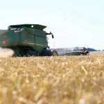
Precipitation this winter has been as low as 40 percent of normal in some parts of the Prairies, and a turnaround isn’t expected
A lingering El Nino is diminishing the chance of La Nina arriving on the Prairies in time to turn conditions from hot and dry to cold and wet this growing season.
Andrew Nadler, consulting agricultural meteorologist with Peak HydroMet Solutions, said the mild winter that El Nino has delivered to Western Canada has lasted longer than expected.
It is the second strongest El Nino on record, ranking only behind 1997.
El Ninos typically cause warm and dry conditions in the Canadian Prairies and cool and wet conditions in the southern United States.
Read Also
Crop estimates show mixed results
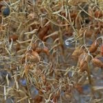
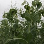
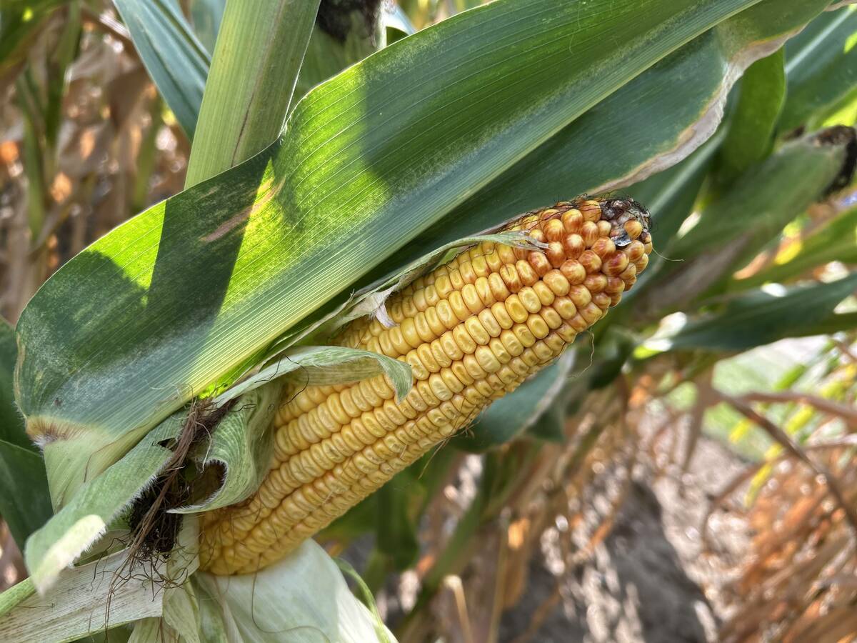
Model-based estimates used by Statistics Canada showed the 2025/26 crop year has seen increases in canola, corn for grain, oats and lentils production while seeing dips in spring wheat, durum wheat, soybeans and barley in comparison to 2024/25.
“That’s pretty much what we’ve seen,” Nadler told Farm Credit Canada’s Ag Outlook 2016 conference.
“We’re seeing quite a dry year for precipitation.”
Precipitation from Nov. 1 to Feb. 23 has been 40 to 85 percent of normal for most of Alberta and Manitoba and southern Saskatchewan.
Nadler said most of the Prairies received 50 millimetres of moisture during that time.
Environment Canada’s outlook for February, March and April calls for above average temperatures and normal precipitation across most of the Prairies.
There is plenty of debate in the forecasting community over whether a La Nina will follow the strong El Nino event.
“The models are really not in agreement right now,” Nadler said.
“Officially, in forecast speak, this is a maybe.”
Nadler believes a La Nina, if it does develop, will likely be pushed into late fall because of how long El Nino is hanging around.
It means the wet and cool weather it brings to the Prairies won’t arrive in time to help or hinder crop yield and quality.
He said the “jury is out” on how much precipitation to expect this spring.
Environment Canada has a May-July forecast calling for an equal probability of it being wetter or drier than normal across much of the Prairies.
“The models at this point are showing a slight tendency to above average precipitation,” said Nadler.
Stubble soil moisture levels are poor across most of Alberta and western Saskatchewan heading into spring, according to a map created by Les Henry, a former professor and extension specialist from the University of Saskatchewan.
Anything east of a line between North Battleford, Sask., and Swift Current, Sask., ranges from moist to wet with a few dry pockets around Yorkton, Sask., Weyburn, Sask., and Brandon.
Nadler doesn’t think there will be enough spring rain to make the wet areas flood.
However, he is a little concerned about the dry areas because of the temperature forecasts.
“The forecasts are pretty consistently showing above average for temperatures well into the growing season, perhaps all the way through the growing season.”
Nadler is predicting an early start to spring planting, although it could be too wet for field work in some of the high soil moisture areas of central and northeastern Saskatchewan.