Canadian growers who want to kick the tires on a satellite monitoring system can still get in a few free weeks if they head over to the EOS Crop Monitoring platform website.
The company originally offered a free trial of their cloud-based service until April 30, but has extended the deadline.
“We made a decision to provide free access to the remote satellite instruments so they can see the benefit, and to help understand how to use it,” said Alexander Sakal of EOS Crop Monitoring.
It’s not known how for long the free trial will be extended, but Sakal said there is no access limit to its functions during the trial period.
Read Also
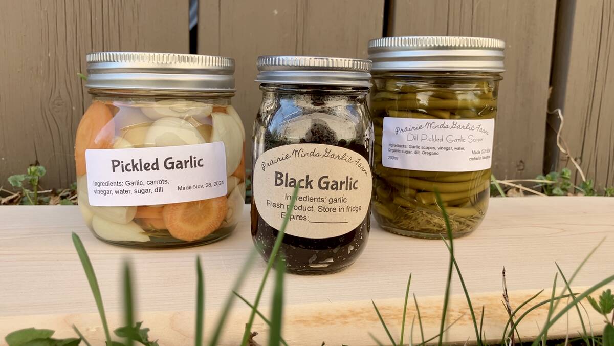
Growing garlic by the thousands in Manitoba
Grower holds a planting party day every fall as a crowd gathers to help put 28,000 plants, and sometimes more, into theground
EOS Crop Monitoring uses data from the European Space Agency’s Sentinel-2 satellite constellation, which offers 10-by-10 metre resolution.
“We provide the insights so the farmers, input supplies and insurance companies, and different companies that form the agriculture supply chain can make business decisions and react to some occasions that occur in the fields,” Sakal said.
He said the company provides NDVI vegetation maps, and three other sets of indices that give different looks at the crops at various stages of development.
The modified soil-adjusted vegetation index (MSAVI) reduces the effect of bare soil on the vegetation signal.
The normalized difference red edge index (NDRE) is used to analyze whether or not images obtained from multi-spectral image sensors contain healthy vegetation.
The canopy chlorophyll content index (CCCI) is a two-dimensional remote sensing index that’s derived from NDVI and NDRE indexes.
Users can use the service to detect crop boundaries and perform crop damage assessment with high cadence and high-resolution satellite imagery, with both multispectral and synthetic-aperture radar (SAR).
Sakal said the information provided by the Sentinel-2 satellites enables users to identify if there is a problem on their fields, but the resolution is too rough to identify what is causing the problem.
“So this is like the overall exploring system of monitoring systems that allows the customer to identify the problematic zones,” Sakal said.
He said EOS Crop Monitoring can be used to construct field zones for fertilizing and crop protection applications.
EOS Crop Monitoring also collects weather and soil-type data to help advise growers on possible risks and changes in their fields.
The free trial permits access to information on historical vegetation maps on their fields, and weather risk alerts.
The system is accessible from a web-based platform, or it can be used with a grower’s existing agronomic software.
“We are also offering API (application programming interface) delivery, so basically we’ll provide all the analytics in terms of satellite and weather through API, they (farmers) can just integrate it into their product,” Sakal said.
There are also apps for IOS and Android available for the system, that are used for scouting and field inspections.
Sakal said the price of the service varies depending on the location and amount of acres monitored, but on average it costs about $1 per acre.
To try the free trial, go to: https://bit.ly/3erUv8V