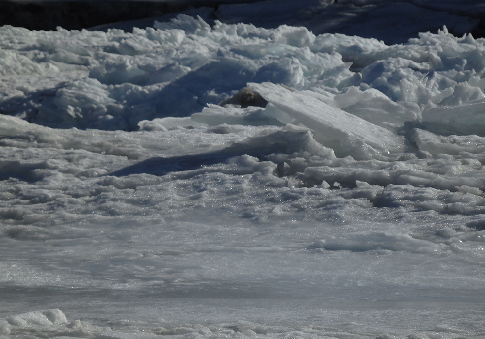
Residents along the North Saskatchewan River are advised to watch for localized flooding due to ice jams.
The Water Security Agency issued an advisory affecting the area from the Alberta border to the confluence with the South Saskatchewan River downstream from Prince Albert.
The agency said the late snowmelt runoff increases the risk of rapid warming and melting, resulting in the potential for higher runoff than expected.
The area of highest risk is in the central part of the province from Highway 16 up to the Churchill River where more snow fell in late winter and little has melted.
Read Also

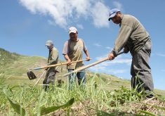
Farming Smarter receives financial boost from Alberta government for potato research
Farming Smarter near Lethbridge got a boost to its research equipment, thanks to the Alberta government’s increase in funding for research associations.
The agency said property along the river, such as irrigation pumps, could be affected.
Spring ice jams aren’t uncommon but the lateness of this year’s runoff increases the risk.
The WSA also said a more significant event could occur with a simultaneous breakup of the ice and a rapid melt.
“While the timing and magnitude of these events is difficult to predict, ice jams do tend to occur at the same locations year after year,” the agency said.
“Conditions are similar to ice jamming incidents experienced in 2013.”
Flows along the Saskatchewan River are expected to increase, leading to higher water levels at Codette and Tobin lakes. Large outflows at Nipawin and E.B. Campbell dam are also likely.
Water levels can change rapidly during ice jams and people should exercise extreme caution near water.
Contact karen.briere@producer.com