CALGARY — The constant introduction of newer and better data-collection technology can leave many precision farmers and consultants scratching their heads.
There’s not much point in wasting time or money logging field data that will never be used, says Lewis Baarda, a GIS specialist with Farming Smarter in Lethbridge.
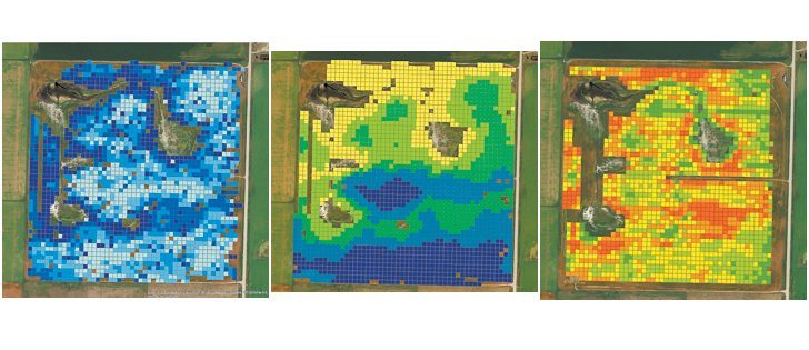
Baarda analyzed various types of data maps last year with the goal of determining which might be the most valuable.
The Farming Smarter team figured that maps with the highest correlation to each other held the best information about what the soil can do. Maps that were way out of the ballpark probably had little or no value.
Read Also
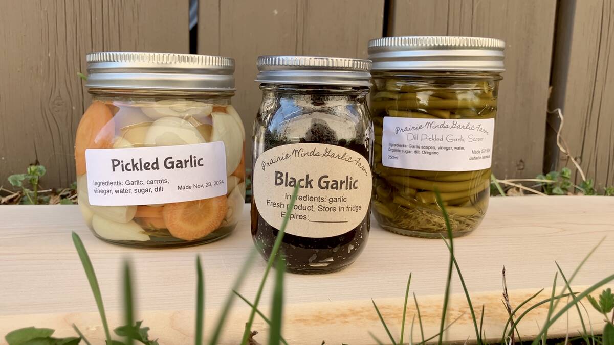
Growing garlic by the thousands in Manitoba
Grower holds a planting party day every fall as a crowd gathers to help put 28,000 plants, and sometimes more, into theground
“We started with 15 layers of field data, and that was a real mess,” Baarda told the recent Tactical Farming conference in Calgary.
Different coverage, gaps, overlaps and shifting GPS points all made the stack of 15 layers even more of a mess, he added.
They eventually whittled down the list to four meaningful maps that had good visual correlations. The finalists included electrical conductivity, yield, organic matter and topography.
Yield maps should theoretically provide the most valuable information, and sometimes they do. Other times they’re worse than nothing.
“Yield maps have a strong correlation to the others, but you can’t always trust them,” Baarda said.
“If your yield monitor isn’t quite perfect when the crop is ready to combine, do you go combining anyway or do you waste time fixing the monitor? It’s not viewed as an essential part of the combine, and that’s why the data isn’t always reliable.
“Organic matter is useful if there’s good data, but I’m not sure we can always trust the data. Topography is a simple one to get with your GPS.
“EC can provide good information, but for us it was a real challenge to get the EC hooked up to a computer and then hook that computer up to GPS so we could get everything working together on the same map. Operationally, that takes technical expertise that not everyone has.”
The Veris EC mapping trailer has been on the market for 20 years. Most agronomists agree electrical conductivity can be useful, but few farm supply outlets have a Veris or Em38. Baarda speculated that the technical hurdles of getting it all work together might be the problem.
However, the struggle to get it to all work together extends far beyond EC and yield maps. Baarda said little of the data that’s been collected over the years is ever used.
“There’s a good reason for that,” he said.
“The software out there is not user-friendly. It’s not flexible. You spend $8,000 or $10,000 for a monitor in your combine and what do you get? Five functions. It’s a challenge to do much more than just look at maps. Your smartphone can let you do that. Integrating meaningful data is difficult.
“Instead of collecting a pile of data layers you can’t use, I’d urge farmers to pick just a small number of maps their software can handle. Two or three or four, maximum. Keep it simple. If I had to pick just two, I’d go with yield and EC. If you pay to have EC data mapped, that data should be good for five to 10 years.”
For more information, contact Baarda at 403-381-5118 or visit www.farmingsmarter.com.