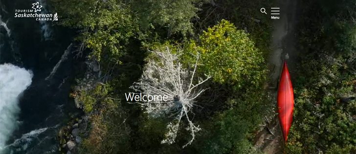

Making parks more accessible | Service expected to be used by armchair travellers, trip planners and teachers as they develop lesson plans
It’s now possible to visit many of Canada’s national parks and historic sites without ever leaving home.
Armchair travellers can use Google Maps or Google Street Viewer to take a virtual walk on park trails.
Parks Canada and Google recently launched a collection of visual vignettes that will eventually highlight more than 70 national historic sites and national parks in Canada.
“It’s sort of a snapshot of what’s available at each location,” said Lisa Leuty of Parks Canada.
Not all national parks and historic sites will be photographed during the two-year project.
Read Also

Farming Smarter receives financial boost from Alberta government for potato research
Farming Smarter near Lethbridge got a boost to its research equipment, thanks to the Alberta government’s increase in funding for research associations.
“It’s not all inclusive. It’s a starting point,” said Leuty, who represents Parks Canada’s Saskatchewan South Field Unit.
Virtual trip planning is one of the main goals for Parks Canada in undertaking the joint agreement with Google.
“Many of our parks and sites are either not accessible or not open in the winter so we really want to give Canadians or international visitors a chance to see what they could see if they were to visit,” she said.
It’s hoped that teachers could also use Google Maps when creating their lessons plans.
“This would allow students to actually see for themselves where the place was or what the park is about without being able to travel potentially hundreds or thousands of kilometres to go see it,” she said.
The program could also attract park visitors.
“We’re also hoping people will get a taste for it and use it for dreaming about coming to our parks and sites. So maybe adding it to a bucket list or their summer plans.”
Google Street View operators fanned out across the country from May to September using the Google car and the Google Trekker, a camera system mounted on a backpack. The top-heavy glass bubble, complete with 360 degree camera, allows the operator to walk the same trails that visitors to parks and historic sites would travel. A total panoramic view is recorded as they move.
“They have to be in pretty good shape because that trekker is not light. It’s a good 40 to 50 pounds,” Leuty said.
Good photographs often require good light, and using the Street View Trekker is no exception.
“It’s also very weather dependent. For example, they can’t capture when it’s pouring rain or if it’s really overcast, just because you’re not able to see as much,” she said.
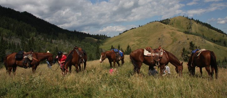
Leuty travelled with an operator this past summer at Grasslands National Park in southern Saskatchewan, but she had to keep her distance.
“They have to go off on their own because it’s a 360 degree camera capture. If you’re with them you end up being in the camera shot,” she said.
The entire 80 km eco tour drive was mapped in Grasslands as well as a few hiking trails and campground.
Prince Albert National Park and Grasslands National Park were “street viewed” this past summer.
Three of Saskatchewan’s four national historic sites have been photographed: Fort Walsh, Batoche and Fort Battleford. Motherwell Homestead will be completed this summer.
Fifty of the 70 sites have been launched. Use highlighted arrows on Google Street View or Google Maps to follow a trail into the chosen site.
Leuty said the system is not yet operating smoothly, and viewers may experience navigation problems.