

Steve Shirtliffe’s research shows that aerial imagery isn’t just for farm yards, it can serve a crop production purpose.
People sometimes have the wrong idea about what satellite imagery can do for agriculture, says Steve Shirtliffe, a researcher and professor in the department of plant sciences at the University of Saskatchewan. “I think there’s this idea sometimes that people think that you can just have a bunch of satellites flying around taking pictures, and […] Read moreTag Archives satellite imagery

Space data fuels India’s farming innovation drive
The country is focusing heavily on the use of satellite data to solve problems on the ground, with agriculture a key focus
BENGALURU, India (Reuters) — Lokeswara Reddy, an Indian farmer with two decades of experience, has seen his crops flourish after lean years, thanks to earth-observation satellites. Shifting climate patterns, high input costs, a scarcity of labour and erratic weather began to disrupt his earnings about 10 years ago, said Reddy, 52, currently a contract farmer […] Read more
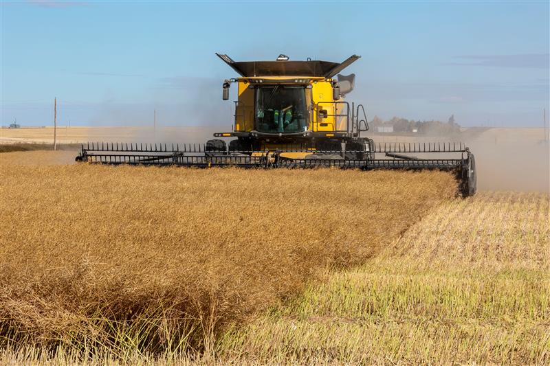
Flying the fields
Researchers are increasingly augmenting the time-honoured practice of walking the fields to check for pest and disease pressure, germination or performance with eyes in the sky such as orbital satellites, drone-mounted cameras and combinations of both. For example, free online tools such as the SKSIS Mapper developed through the University of Saskatchewan’s soil science department […] Read more

Risk evaluation app predicts lentil disease
Growers are tempted to shorten their rotation because of high profit potential but the biggest enemy of lentils is aphanomyces root rot. Its spores can remain viable in the soil for a decade or longer.