In our last issue I said I would continue our look at severe summer weather and begin our look at tornadoes.
Before diving into this topic, I decided we should do a little crash course on what I am calling whirlwinds and atmospheric vortices.
If our air didn’t spin, we wouldn’t have weather.
Read Also
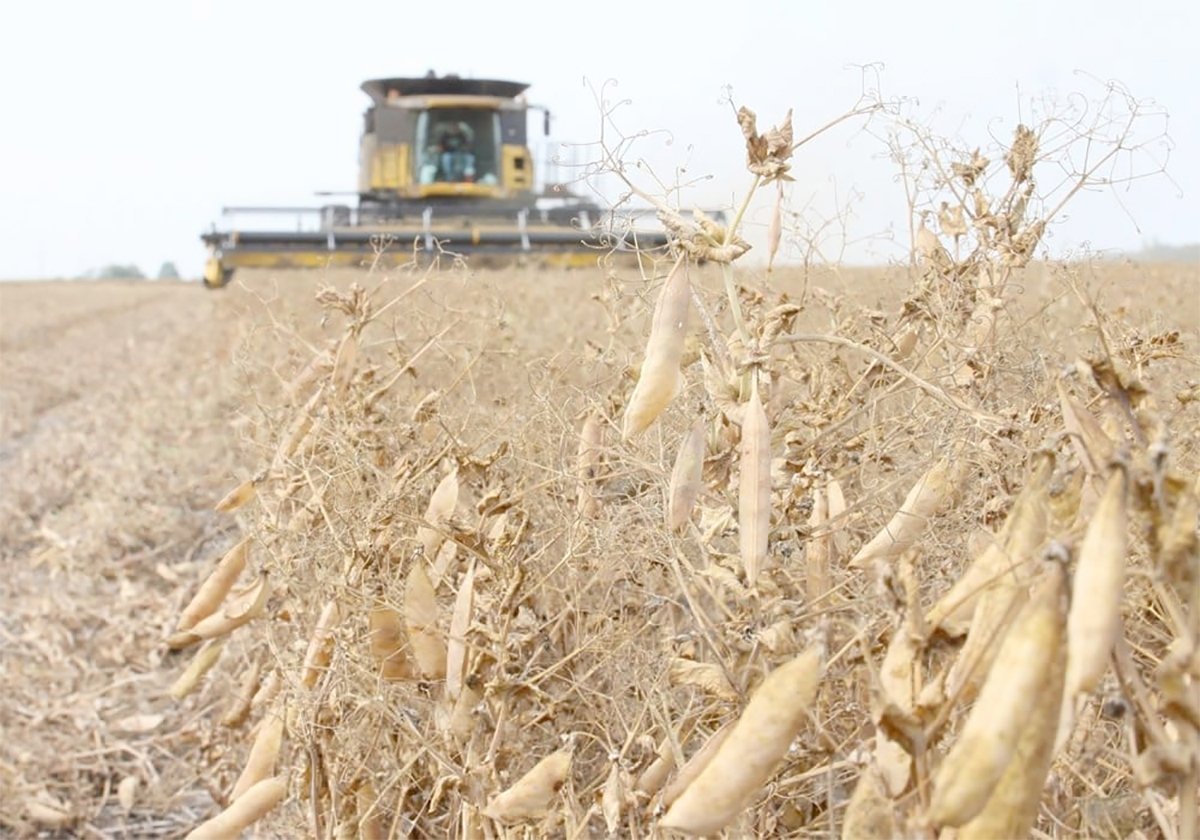
Chinese, Indian tariffs take toll on pea prices
The disruption of pea exports from Canada’s largest customers will likely result in slow pea exports for the remainder of the crop year.
These spinning columns of air appear in many forms, from large-scale circulations, such as areas of high and low pressure, to much smaller scale rotations that range from harmless fair-weather whirls to devastating tornadoes.
Although they all involve rotating air and are visually similar in some respects, their formation mechanisms, environments and intensity vary widely.
What we are going to look at in this issue is an in-depth explanation of the first two of five such spinning air phenomena, namely dust devils and cold-core funnels.
In the next issue, we will look at waterspouts and land spouts and start our look at tornadoes.
Dust devils are small, short-lived whirlwinds that occur on clear, hot days, most often over dry ground. They form at the surface when intense sunlight heats the ground, warming the air just above it.
The hot surface air rises quickly through the cooler, denser air above, creating a localized updraft. If there’s a slight horizontal breeze or uneven heating, this rising column can begin to rotate.
They can range from less than a metre in width up to 30 metres, and while usually only reaching several metres in height, they have been known to extend upward of 1,000 metres on rare occasions.
These dust devils, as the name implies, are often visible because of the dust, sand and debris picked up from the ground.
When no debris is available, these rotating columns of air can take you by surprise. Wind speeds inside a strong dust devil can reach 50 to 90 km-h, which is enough to throw light objects around but not dangerous to structures.
Dust devils don’t require a thunderstorm or large-scale weather system; they are purely driven by surface heating and localized turbulence.

Next up are cold-core funnel clouds.
These are narrow, funnel-shaped clouds that sometimes extend from the base of a cloud during cool, unstable weather. They’re often mistaken for weak tornadoes but are generally harmless.
They develop in environments with a cold upper atmosphere and strong low-level instability, often behind a cold front or beneath an upper-level low-pressure system.
The steep temperature difference between cold air aloft and warmer air below creates buoyancy and turbulence, which can sometimes organize into small vortices.
They usually appear as thin, wispy funnels descending from a cumulus or stratocumulus cloud and are usually short-lived and rarely, if ever, reach the ground.
Typically, they are too weak to produce damage, but on rare occasions, if they do touch down, they may create a very weak tornado-like effect for a very short period of time.
While they are associated with cumulus clouds, they are not related to supercell thunderstorms, and their rotation is usually weak and shallow compared to true tornadoes.
For more Prairie weather forecasts and insights on climate science, visit Daniel Bezte’s full archive.