Summer 2023 weather was a bit of a mixed bag across the Prairies. It started off hot, then went cool over eastern regions before turning back to average by the end. To the west, warm summer temperatures started early and just kept going.
Let’s look at August weather in the west. Alberta saw another month of above-average temperatures, with both Calgary and Edmonton recording mean monthly temperatures of around 18 C, which is two to three degrees above average.
Peace River recorded a mean monthly temperature of 16 C, about one degree warmer than average. Precipitation was below average in the south and north, with Calgary reporting around 25 millimetres and Peace River reporting about 35 mm. Central regions saw near- to above-average amounts with Edmonton reporting 58 mm.
Read Also
New coal mine proposal met with old concerns
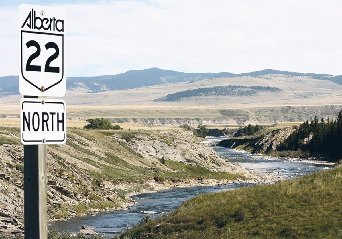
A smaller version of the previously rejected Grassy Mountain coal mine project in Crowsnest Pass is back on the table, and the Livingstone Landowners Group continues to voice concerns about the environmental risks.
Saskatchewan saw similar temperatures as Alberta, with both Regina and Saskatoon recording mean monthly temperatures in August around 18 C. This comes in near to slightly above the long-term average for the month. Precipitation amounts were slightly below average, with Regina reporting 35 mm and Saskatoon reporting 38 mm.
In Manitoba, the consistent 18 C mean monthly temperatures seen across the Prairies continued with Winnipeg, Brandon and Dauphin all coming within 0.5 C of 18 C.
Winnipeg’s 40 mm of rain and Brandon’s 27 mm were both well below the average for August. Dauphin reported 67 mm of rainfall for the month, thanks to a heavy downpour on Aug. 10-11, so it was slightly above average for the month.
Overall, August saw near-average temperatures in the east, warming to above-average as you travel west. Precipitation was below average in most locations, with a few areas seeing near average.
Looking back at the different long-range forecasts, the winner is the National Oceanic and Atmospheric Administration, with its forecast of average temperatures in most of the Prairies, Alberta with above-average temperatures, and a precipitation forecast of near-average amounts.
Now for the latest medium- to long-range weather forecasts, starting with the almanacs. The Old Farmer’s Almanac calls for near average temperatures in September along with above-average precipitation. This transitions into above-average temperatures and near-average precipitation in October.
The Canadian Farmers’ Almanac calls for below-average temperatures and above-average precipitation in both September and October. It mentions showers, unsettled and wet weather, along with cool or chilly conditions.
NOAA’s three-month outlook calls for near-average temperatures in Manitoba and Saskatchewan and above-average temperatures in Alberta. Its precipitation outlook calls for equal chances of either above or below, which likely means near-average. Parts of Alberta have a greater chance of below-average amounts.
The latest CFS weather model calls for above-average temperatures this fall, with the best chances across Saskatchewan and Manitoba. Its precipitation forecast calls for above-average amounts across southern Manitoba and central Alberta with near-average amounts elsewhere. The CanSIPS model calls for above-average temperatures and near-average precipitation this fall and the European model calls for above-average temperatures and near-average precipitation, with the eastern Prairies possibly seeing above-average precipitation in September.
My prediction: the latest El Nino advisory calls for a 95 percent chance of the current El Nino conditions continuing into the fall and winter, so I lean toward a warmer than average fall with near to below average precipitation.
Daniel Bezte is a teacher by profession with a BA in geography, specializing in climatology, from the University of Winnipeg. He operates a computerized weather station near Birds Hill Park, Man. Contact him at dmgbezte@gmail.com.

