WINNIPEG – If a picture is worth a thousand words, images snapped by satellites using radar and microwaves can speak volumes.
Last week, the University of Manitoba opened what could be called a high technology photo developing centre.
The Centre for Earth Observation Science will take satellite data and develop it into products such as automated maps that can be used to find improved practical ways of working with the earth.
Already, 20 students are doing research toward degrees while also helping the centre’s interested partners find solutions to problems.
Read Also
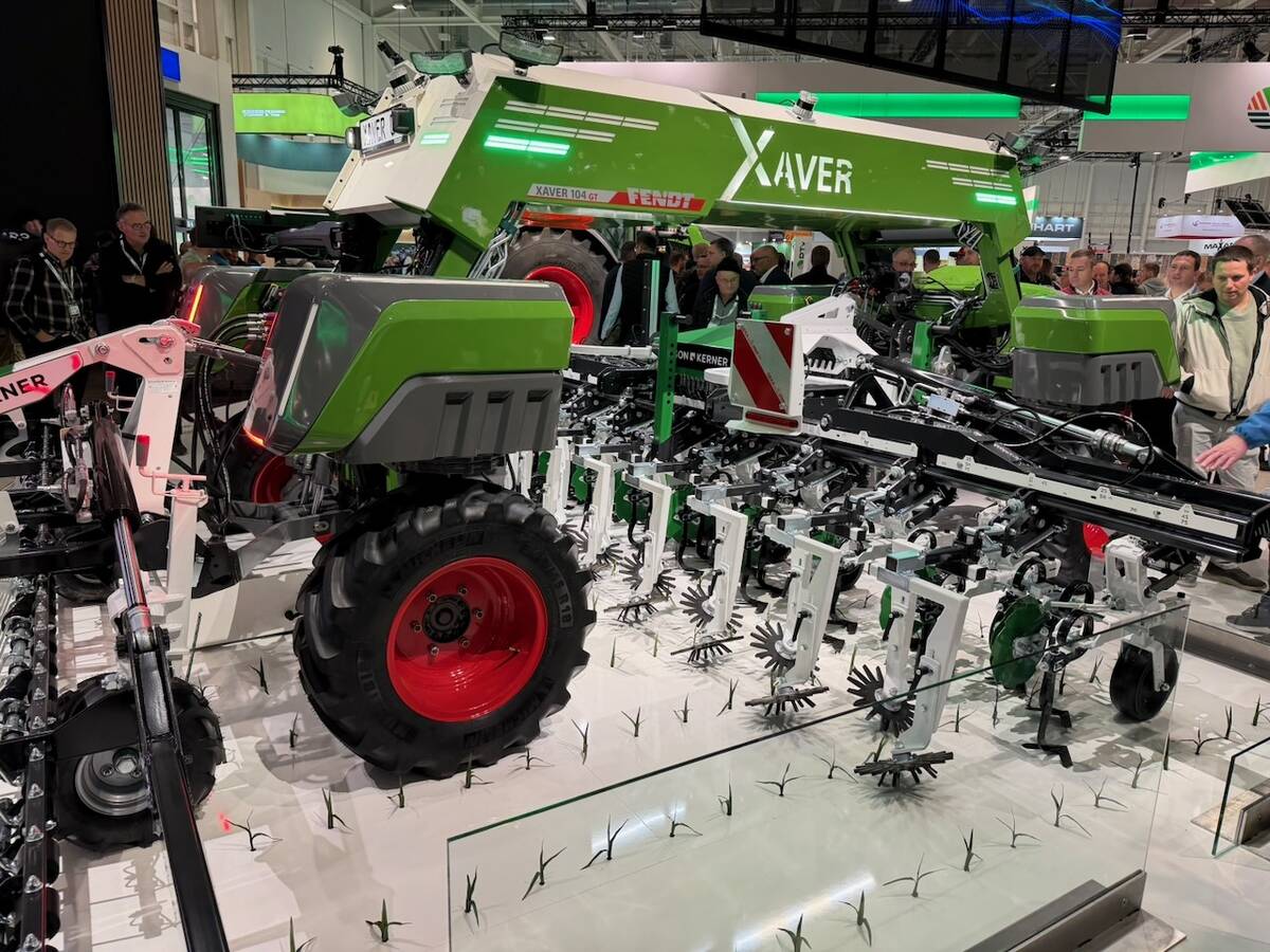
VIDEO: Agritechnica Day 4: Robots and more robots, Nexat loves Canada and the trouble with tariffs
Agritechnica Day 4: Robots and more robots, Nexat loves Canada and the trouble with tariffs.
These partners bring issues and funding to the centre. Students find ways to harness the remote sensing data to answer research questions.
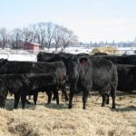
Dave Barber, a geography professor and the centre’s director, said the technology has vast potential in agriculture.
In fact, two of the centre’s projects now focus on farming:
- Two students are using data collected from radar waves striking cereal crops to see how well they determine physical qualities of plants, and soils and crop yields.
- Another student is using the technology to determine the right time to irrigate potatoes in a field near Carberry, Man.
Barber said a project could focus on something as specific as fertilizer needs for one field, or to find a good site for a hog operation, or to find routes for icebreakers on their way to the port of Churchill.
Data is current, but because it can be layered in many different ways, conditions can be measured over time and future projections could be made.
For example, Barber said the data can be used to create a map of crop vigor. Add time to the map and yields can be predicted. Add projected weather conditions and the map will show how the crop will be affected.
The technology is relatively new, said Barber, but applications for it have not yet been well explored.
“We are drowning in data, but we are not drowning in information.”