
On the bright side, a cold winter caused by a mass of Arctic air blowing in could boost energy markets
CHICAGO, Ill. (Reuters) — The Northern Hemisphere may be subject to more cold outbreaks than usual come January thanks to the polar vortex.
“Polar vortex” became a household phrase in North America during the bitterly cold winter of 2013-2014, but this phenomenon has always existed and can also impact both Europe and Asia.
The polar vortex is one factor that controls how much cold Arctic air is allowed to infiltrate the mid-latitudes during the winter, when the vortex is at maximum strength.
Recent atmospheric activity in the Arctic suggests that the polar vortex is likely to come into play for the Northern Hemisphere this winter, as there may be a relationship between autumn and winter polar vortex strength.
Read Also
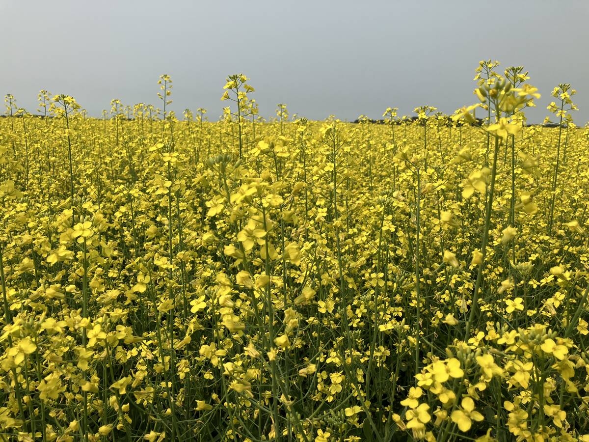
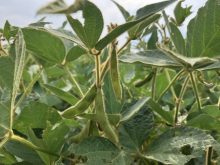
China may soon open its doors to Australian canola
China may soon resume importing canola from Australia.
It is impossible at this point to know exactly when and where the polar vortex anomaly will occur, though there will be some clues to watch for once winter arrives.
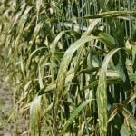
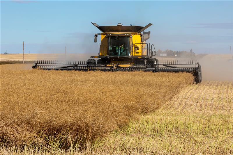
Should the frequency of cold episodes increase come the new year, this could provide a boost to sluggish U.S. energy markets but threaten winter grain and oilseed crops across the Northern Hemisphere, particularly in Eastern Europe where plant health is already an issue.
The polar vortex is a large, spinning mass of cold air in the upper atmosphere that sits over the poles year-round but intensifies in each respective winter.
Think of the polar vortex like a top. The faster the top spins, the more stable it becomes as it preserves shape. But when it loses speed, it also becomes unstable and the top will begin to wobble from side to side.
This is what happens to the polar vortex. Left undisturbed, Arctic air is unlikely to escape the spinning “vortex” down into the mid-latitudes. If it weakens and the upper level winds slow down, the polar vortex will tilt toward North America, Europe, or Asia.
Once the weakened polar vortex begins to shift toward the continent, it can take anywhere from days to weeks for ice-cold Arctic air to arrive. The duration depends on the intensity of the event and other atmospheric factors, such as a blocking pattern.
Blocking patterns, or blocks, are large, stationary high-pressure systems that prevent the advancement of adjacent air masses. If a strong block is in place near a tilted polar vortex, this could prevent the exit of the vortex air from the region, thus prolonging the Arctic blast.
This is what happened in early 2014, when a chunk broke off from the polar vortex and descended upon North America. The mass of cold air became wedged between the northwesterly jet stream and a blocking pattern over Greenland and delivered the United States and Canada one of the coldest winters ever recorded.
Complete destabilization of the polar vortex is caused in part by Sudden Stratospheric Warming (SSW) events, which can occur when increased storm activity in the Northern Hemisphere reaches a critical threshold.
During a SSW event, the stratosphere drastically warms over a short period. The polar vortex suddenly warms as a result, causing it to break apart for several weeks, thus increasing the chance for cold outbreaks across the Northern Hemisphere.
The polar vortex seemingly operates independently of other winter-dictating phenomena, such as the North Atlantic Oscillation and the Arctic Oscillation. In fact, both tracked predominantly positive values throughout the winter of 2013-14, which would generally be expected to produce warmer-than-normal temperatures in the Northern Hemisphere.
There is good reason to believe that cold outbreaks might be commonplace in the Northern Hemisphere during January and February based on the polar vortex.