A national effort is expected to yield an inventory of Canadian grasslands by the end of 2024.
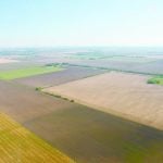
Satellite imagery data of Canada’s grasslands goes back 20 years. That bird’s eye view is available every day now, according to Nasem Badreldin of the University of Manitoba, who has studied and taught soil biology and the regrowth of reclaimed land and forests. He has also been at the forefront of developments in remote sensing and grassland mapping technology.
The grasslands mapping project is led by the Canadian Forage and Grasslands Association.
Read Also
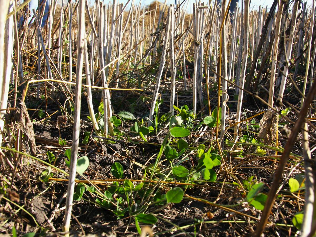
Saskatchewan project sees intercrop, cover crop benefit
An Indigenous-led Living Lab has been researching regenerative techniques is encouraging producers to consider incorporating intercrops and cover crops with their rotations.
“What the technology shows us is very cool but it’s also concerning,” Badreldin said at the recent CFGA annual conference.
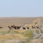
There is no official inventory methodology applied to Canadian grasslands, both native and tame, according to the CFGA. Nor has grassland terminology been nationally defined, which has limited collaboration across Canada.
The project will give farmers the ability to know the status of every inch of their soil, according to Badreldin.
Grasslands mapping can help to “anticipate tomorrow so that they won’t be caught off-guard by what it brings.”
Mapping technology also prepares farmers to use precision and autonomous equipment, says Badreldin.
Detailed maps of the Canadian prairie have been completed, with the exception of some parts of Saskatchewan. Work on these maps, which Badreldin began in 2019, is based on technology he developed. Analysts are reviewing changes in landscapes and 10 professors across Canada are working to stack data to include dates and examine “what-if” scenarios.
Results will soon include soil temperature and models for emissions and greenhouse gas sequestration. Rancher and farmer support is still needed.
The latest technology uses hyper spectral imagery, adding the ability to see more colours and wavelengths from space with spatial details. Three hundred colours represent different soil properties such as minerals that are either missing, depleted or adequate. Spectral signatures also identify plant species.
The mapping will need to be updated regularly.
Previous mapping methods were less automated and often time-consuming, requiring extensive human input and expertise in interpreting satellite data. Use of computers to do the analysis make it much faster.
The use of hyperspectral imaging — at more than 200 resolution bands versus the previous multispectral with 17 bands — allows more pattern definition based on multiple data points. By March, Badreldin says those involved should have resolution down to 10 x 10 metres across millions of acres.
Limitations of this technology include the costs and resources needed to reproduce images every year. Lack of data sharing is also an issue, particularly in the farming industry, says Badreldin.
Another problem is the overlapping mapping efforts of different organizations, as well as communication challenges between provinces.
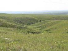
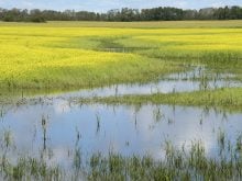
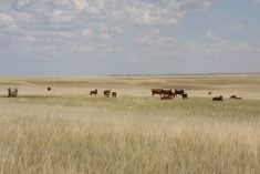
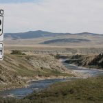
Mapping Canada’s grasslands is an effort to ensure that soil health, habitat and biodiversity can be monitored on an ongoing basis. The inventory will include all major grassland types and ecoregions.