BROOKS, Alta. – The combine lurches to a halt amid the usual cloud of dust and chaff. But after climbing the stairs to the cab, the first object in view is a laptop computer.
University of Calgary researcher Jamie Henriksen is hovering over it. Beside him, at the combine’s helm, is Gerard Oosterhuis, one of several farmers involved in a satellite tracking project related to agricultural yield.
By gathering exact yield data in the fall, farmers can use the information to control the amount of fertilizer applied to parts of the field.
Read Also
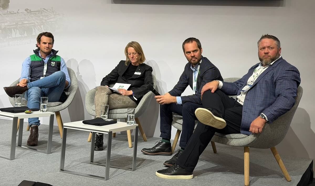
Agritechnica Day 2: The future of tractor power, building quicker crop apps and large farms and tech
Agritechnica Day 2: The future of tractor power, building quicker crop apps with Syngenta and large farms and tech
“In the spring, the rate of application will be controlled by satellite,” said Colin McKenzie, a research agronomist with the Crop Diversification Centre in Brooks.
In the fall, farmers can also enter in the computer the location of weedy spots in the field to make optimal use of spray the following year.
“Farmers can get better economics with site-specific applications,” said McKenzie.
In Europe, satellite technology is becoming more important to farmers worried about applying too much fertilizer. Strict environmental regulations determine how much fertilizer they can apply.
Some American farmers are also using satellite technology in soybean-growing areas to maximize fertility. McKenzie estimates one or two percent of farmers in Illinois, Michigan and Iowa make use of satellite systems in their operations.
He anticipates the technology may also be adopted by Canadian farmers involved in intensive production.
“It has more potential on high-value crops, but canola is a high-value crop,” he said, noting he also sees applications in the near future for potato crops in particular.
“I see potential in certain niche areas. That’s what we want to investigate. It’s a research tool and a production tool, both.”
The project involves test fields in Alberta near Bow Island, Stettler, Hussar and Mundare, chosen to provide samples of different crops in different soil zones, said McKenzie. Three-year agreements have been reached with farmers.
Using small units installed in the combine, and a nearby base station in the case of the Bow Island plot, McKenzie said information on yield from specific field locations is accurate to within a few centimetres.


