Western Producer reporter Roberta Rampton recently visited The Pas, Man. This report on agriculture in the region is the first in a series.
Opening the North
Early settlers unearthed a rich delta in the middle of Manitoba’s northern forest
A giant neon trapper greets visitors to Manitoba’s ‘gateway to the North,’ where logging trucks outnumber grain trucks, and it’s easier to buy fishing tackle than parts for the tractor.
Many travellers can’t see the farming for the trees.
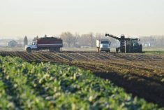
But here, north of the 53rd parallel, about 225 kilometres from farming areas to the south or west, is where the first crops in Western Canada were sown.
Read Also
Canada the sole G7 nation without a Domestic Sugar Policy to aid local sugar beet production
Canadian sugar beet industry vastly different to US with free-market system compared to protective government-regulated sugar program
French explorers for the North West Company planted wheat and barley near their fort in 1754.
Yet it wasn’t until a couple of centuries later that pioneers opened up the last frontier of farming in Manitoba on the fertile, reclaimed river delta still known as the Pasquia Settlement.
Fred Madrigga’s grandfather farmed in Ukraine, but came to Canada and worked for a lumber company in The Pas in 1919.
His farming roots pulled him to take a ferry down the Carrot River and homestead a narrow, mile-long river lot.
Early survey maps show most of the area covered in swamps, marshes, native hay stands, willows, mud flats and muskeg.
“I can remember before the dike was in. You’d drive out there and there was a big lake,” says Madrigga.
But in the 1930s, the land dried up a bit. Drought-stricken Saskatchewan farmers came looking for soil that wouldn’t blow away.
When they cleared off the vegetation, they found deep, rich topsoil with few stones. Government engineers began looking at ways to make farming more viable on the delta.
“Until the dike went in, it was haphazard farming,” said Madrigga, whose family was flooded out of their home in 1948.
After numerous studies, the federal government’s Prairie Farm Rehabilitation Administration decided to develop part of a potential two million acres of agricultural land.
Starting small, they diked 135,000 acres in 1954 between the Pasquia and Carrot rivers and built an elaborate drainage system.
Madrigga recalls farmers going head to head with trappers and hunters worried about the project’s effect on wildlife.
Ducks Unlimited had been flooding part of the region for muskrat habitat.
A compromise saw the Saskeram Wildlife Management Area created on the northern half of the delta, between the Carrot and Saskatchewan rivers.
Even though some farmers had homesteaded there, they were restricted to crown forage leases on the fringes of the managed area.
“There’s better land on the north side than the south side. That’s why farmers went in there first,” grumbled Madrigga.
But more farmers came and found opportunity in the new project.
Armand LeSann first saw The Pas on a Sunday drive in 1959 with his father, a retired farmer from the Red River Valley who was building a house in a community 90 km north of the town.
“It was being developed, they were turning land, and I thought it would be pretty interesting to carry on and see what would become of it.”
During summer vacation from university in 1961, LeSann and his father packed sheets of plywood, a cookstove, a table and chairs and a transistor radio into a truck and headed north.
They were among the first to break land on what had been Lake Pasquia.
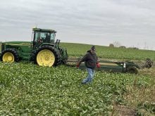
They spent the first couple of summers in a sod-floor shack on their land, chopping down willows and poplars, burning them, then taking a 22-inch breaking plow over the soil.
“When things went really well, we did an acre an hour,” said LeSann. They cleared 160 acres the first summer.
It took several years before their crops reflected the richness of the soil. Vegetation takes longer to decompose in cooler temperatures.
At the elevator in town, every fifth load was signed over to the government to pay for the lease on the land.
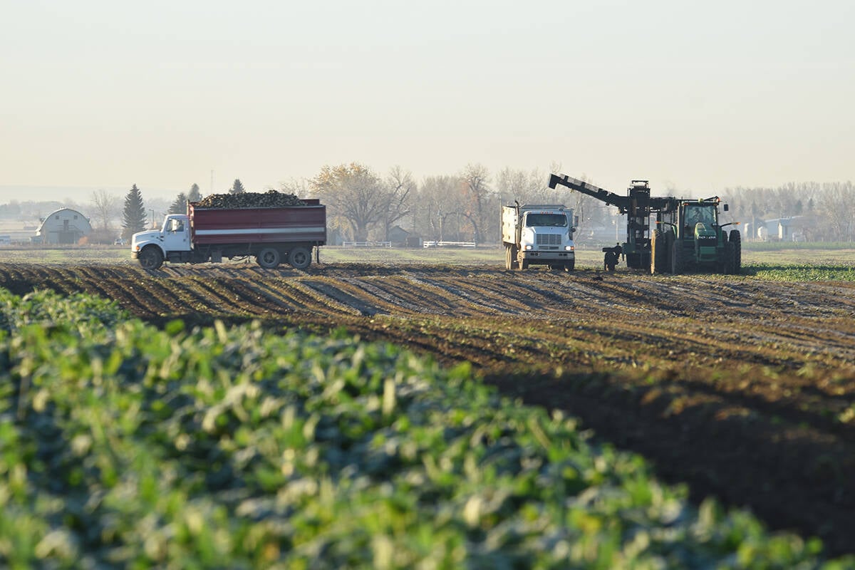
Today, most of the farming area looks similar to many other regions, without the stones.
“You could throw somebody off here and they’d swear they were around Dauphin,” said Madrigga.
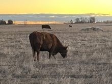
But a lot of the leased pasture looks as it did when LeSann first arrived more than 35 years ago: native grass taller than the windshield of a truck and lots of willows.
And LeSann still breaks land today, although it’s easier with today’s equipment.
But he keeps the old breaking plow, rusted now, pushed to the side of his modern farmyard.