OLDS, Alta. – For years, Gordon Gilchrist thought about turning his enthusiasm for radio-controlled airplanes into a useful application.
Technology finally caught up with his ideas and this past year the Olds College instructor enlisted his colleagues to use the flyers for digitalized aerial photography.
“This is all technology that is in existence but not coupled together,” said Gilchrist, who plans to publish a report on the experiments this August. He teaches global positioning at the college to a variety of agriculture disciplines.
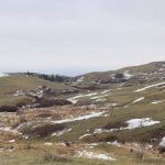
The objective was to use the existing technology of aerial photographs collect field data. Gilchrist taught students to fly a variety of radio-controlled airplanes that carried digital cameras mounted on the bottom of the craft fuselage. A method was devised to keep the planes level for accurate photography.
Read Also
Charges laid after cattle theft
Saskatchewan RCMP lay two charges against a man after six cattle went missing.
“I am confident that this is going to be a very inexpensive tool,” he said.
There is already interest from the oil and gas industry because companies need to know the lay of the land before and after exploration.
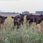
On-farm applications include planning as well as field scouting.
“Agriculture can use it to manage its own water resources, their own spray runoff, their own manure runoff,” he said.
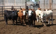
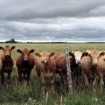
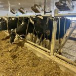
The pictures are detailed, colour images from overhead that reveal changes from runoff or residues. Changes appear as different plant growth or colour. Soil residues are also clearly visible around feedlots and barns.
“We can see if there was leaching leaving these pens. We would see it on the air photo,” he said.