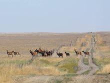
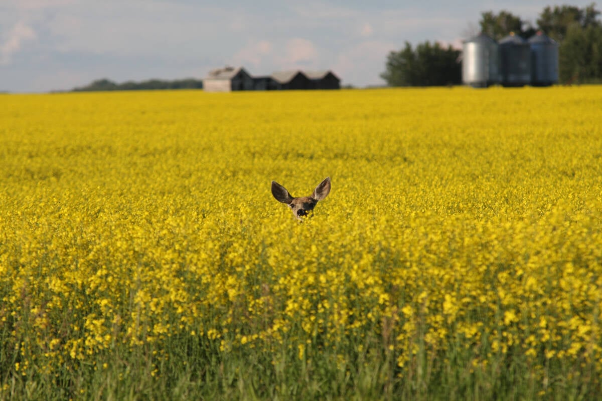
REGINA — Wildlife damage in Saskatchewan crops is now assessed by drones and artificial intelligence.
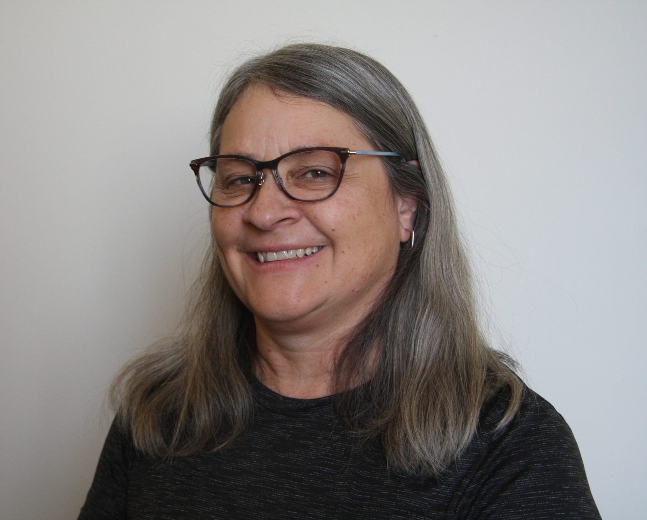
Crop adjusters were trained and licensed to use the unmanned aerial vehicles and have been using them for a few years to help understand where the damage was, said Saskatchewan Crop Insurance Corp. chief executive officer Jeff Morrow.
“Then we’d have to go in, walk the field and do the assessments,” he said.
Read Also
Saskatchewan tests new forage insurance program
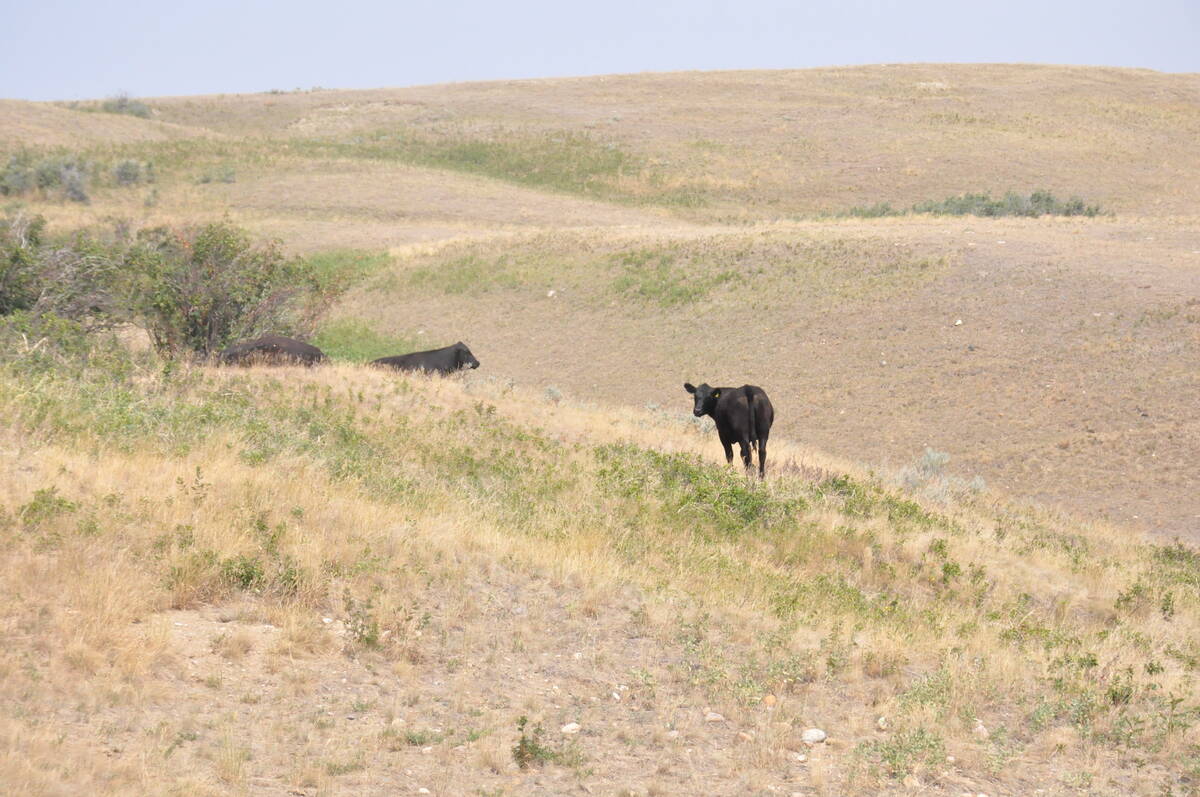
Saskatchewan Crop Insurance Corp. tested a new forage insurance program this past summer as it looks for ways to better protect cattle producers.
“The next step was to take high-resolution imagery with the drone and then use artificial intelligence to help us identify and measure the actual acres that have been damaged by wildlife.”
The corporation announced in late July it was moving to this process after a 2024 pilot program. It applies to standing crop; traditional inspection continues for swathed crop claims for big game damage.
Once a producer files a claim, and before harvest, the adjuster flies the field to take the photographs.
“AI measures the damage in the field, and then SCIC has oversight looking at those maps to make sure everything is captured and the calculation is based on those pictures,” Morrow said.
After harvest, producers report their actual yields as part of the claim calculation.
Producers will receive the first maps, and subsequently initial payments, in mid-November.
He said this process makes it easier on everyone involved. Before, the producer had to be able to provide accurate locations of where the wildlife damage occurred.
“They don’t have to be present for the entire inspection like they used to be, and what this will give us the ability to do is to present back to the producers the map that shows all the damage on the field,” he said.
All areas with damage will be captured and eliminate the chance of missing a spot.
Morrow also said the use of drones and AI provides a standard and consistent way of measuring every field. Wildlife impacts vary from year to year and field to field.
“It takes out subjectivity,” he added.
SCIC is staying abreast of technological changes and where it makes sense to use them, he said, and producers are always early adopters of new technology as well.
Compensation is paid on claims of $150 and more. Both insured and uninsured producers are eligible for wildlife damage claims. For those who don’t participate in crop insurance, yields are based on the annual average yield of insured acres in the area.
Wildlife prices are set in March, and producers will then receive the remaining 25 per cent of their claims.