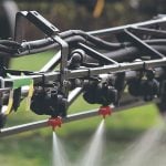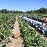
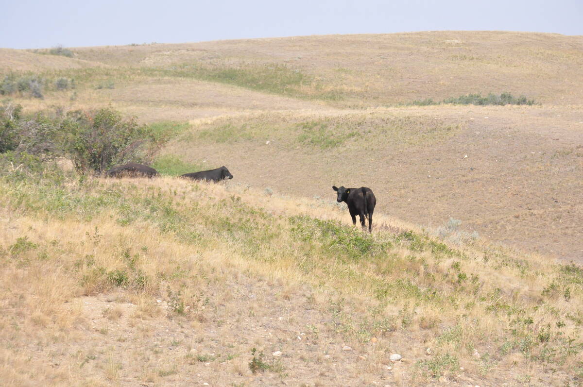
WHITEWOOD, Sask. — Saskatchewan Crop Insurance Corp. tested a new forage insurance program this past summer as it looks for ways to better protect cattle producers.
About 40 producers across the province were involved in a shadow pilot program using satellite data to assess soil moisture. It’s called a shadow program because producers didn’t pay premiums to participate, and the program didn’t pay indemnities.
Janelle Kuntz, program manager adviser, said the existing Forage Rainfall Insurance Program (FRIP) doesn’t always meet producers’ needs. It relies on weather stations that producers consider too far away.
Read Also
Drones now used to assess wildlife crop damage in Saskatchewan
Wildlife damage in Saskatchewan crops is now assessed by drones and artificial intelligence.
“The forage insurance programs that we have at SCIC have traditionally had far less uptake than our grain or crop insurance programs,” she told a recent Saskatchewan Cattle Association District 1 meeting.
In 2024, producers took out just more than 2,000 contracts, insuring nearly four million acres. There were 1,104 claims paying out $15.8 million.
SCIC chief executive officer Jeff Morrow said improving forage insurance is a national priority.
In 2022, SCIC was part of an industry-government forage insurance task team charged with finding ways to increase the use of insurance to manage forage production risk and look at potential new products. He said satellite technology emerged as the best option to deal with concerns about the weather stations.
“We were looking for a technology that would make the coverage more relevant for producers,” Morrow said.
SCIC has 224 weather stations operated by a third party. Kuntz said with rare exceptions, producers are within 30 kilometres of a station, and 99 perc ent of the agricultural land was covered. However, producers often said the data from the station didn’t reflect precipitation amounts where they grazed their animals.
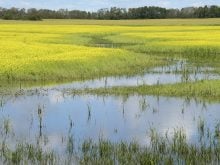
Kuntz said the satellite technology will provide more measurements than simply temperature and precipitation. Soil moisture,which is the ratio of water volume to soil volume, is considered a better way to assess how much water forage crops can access.
The objectives of the pilot program were to test how well it worked in real time and real conditions and to assess actual experiences with the data and coverage.
The test program used near-daily satellite data.
“There were days due to clouds, forest fires, whatever, that satellites weren’t able to pick up the data,” Kuntz said.
The data can be used to continuously measure changes in soil moisture conditions and quantify drought, if it occurs.
Measurements are taken at the square kilometre scale, making it more representative of local conditions. For the pilot program, the data was aggregated at the township level, or 10 km by 10 km.
“Our research shows that soil moisture levels in May, June and July have the strongest correlation with forage production, so that’s why we used those months for the pilot,” she said.
The technology can’t yet assess snow and ice and must measure actual liquid water.
Participants accessed the program on phones, laptops or desktop computers. It provided access to any township in the province, and Kuntz said this is where most producers spent the most time. It contained graphs showing soil moisture over time and fluctuation during the growing season.
Producers were shown what indemnities would have been paid, based on payouts beginning at 93 per cent of normal. Kuntz said that figure corresponds to about a 15 per cent loss in forage production. However, that doesn’t mean a final program, if implemented, would use the same figures.
Morrow couldn’t say whether the program would be available when the corporation makes its annual program announcement in February .
However, he did say feedback from producers was positive. They thought the information they received was more accurate and didn’t have to choose a weather station on which to base claims.
“This would be simpler and eliminate the need for all those choices and be more responsive and (offer) localized coverage,” he said.
Some producers said they would like access to both this type of program and FRIP. Morrow said he didn’t know if this would be possible.
Staff are still going through the results and feedback and will consult with industry before decisions are made.