
FORECAST HAS CHANGED. CLICK HERE FOR SUNDAY MORNING UPDATE
We might see some rain in southern Saskatchewan in the coming week.
The following maps in this rotation are from the U.S. National Weather Service issued on Friday.
The rotation first shows the three-day accumulated precipitation forecast for May 7 to May 10, and then maps of two-day forecasts for May 10-11, and May 12-13.
The May 7-10 map shows south western Saskatchewan could start to get rain likely on Monday May 9. Accumulations build in the May 10-11 map as the weather system moves towards the Manitoba border.
Read Also

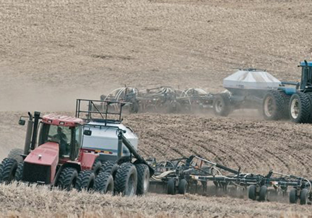
Prairies have variable soil moisture conditions
The dry weather in the west was welcome for preserving grain quality and advancing harvest, but it has resulted in very dry soil moisture conditions.
The last map in the rotation shows lesser accumulations in the eastern Prairies are expected May 12-13 .

Looking a little further into the future, the following maps from the U.S. Environmental Modeling Center at NCEP are produced from the mean of 16 forecast members
They display in rotation precipitation prediction maps for May 13-19, May 20-26, and May 27-June 2.
The May 13-19 map shows a return to dryer weather. The May 20-26 map shows an average chance of precipitation in much of the Prairies but by May 27-June 2 it is drier than normal again for large parts of the region.