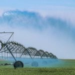
Another wet spring could easily hit the Canadian Prairies, says a leading U.S. agricultural meteorologist.
“We’re looking at that being potentially a big player once again,” said Bryce Anderson of DTN.
“I don’t think we can look at what happened last spring as just a onetime shot. This high latitude blocking, and its influence on the storm track, has been quite profound for several seasons.”
Many weather analysts attribute the sodden prairie spring in 2010 to a big bulge of arctic air that pushed far down into the usually warmer zones of the northern hemisphere.
Read Also
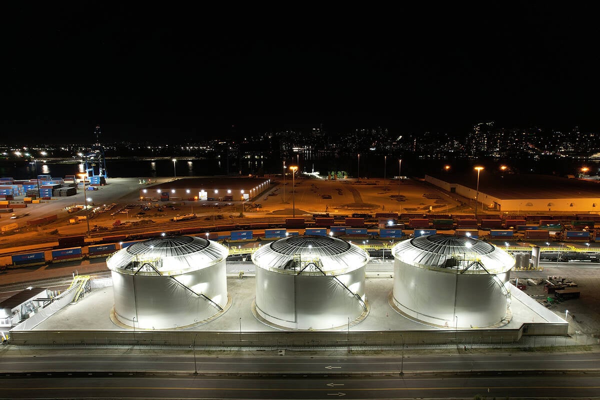
Canola oil transloading facility opens
DP World just opened its new canola oil transload facility at the Port of Vancouver. It can ship one million tonnes of the commodity per year.
That anomaly forced warmer, wetter air south and caused great instability. Many prairie farmers never got their crops seeded in 2010, and many farmers went into the winter with wet soil and the hope for warm, dry conditions in the spring of 2011.
Anderson said there is no guarantee that the “northern latitude high pressure blocking” system would continue through the spring or that it would have the same impact of heavy rain on the northern Prairies.
But he thinks farmers need to be aware that it is a significant possibility because the system is there again.
“That feature was in large part responsible for the very heavy rains that the Prairies had last year and if that continues on this year, we could see another round of some pretty wild storm patterns in the Prairies this spring,” said Anderson.