Predicting how water will behave in Saskatchewan is hampered by poorly defined drainage basins and a lack of modelling capacity, says a water expert.
John Pomeroy, director of the University of Saskatchewan’s hydrology centre, said the province is one of the few jurisdictions without hydrological modelling capacity. However, importing it from elsewhere isn’t the best solution.
“The types of models which have been developed in other parts of the world don’t work particularly well here. However, it is possible to do it,” he said.
Read Also

Farmers asked to keep an eye out for space junk
Farmers and landowners east of Saskatoon are asked to watch for possible debris in their fields after the re-entry of a satellite in late September.
“Alberta does it. Manitoba does it. But it also takes a certain amount of infrastructure.”
The Water Security Agency’s 25-year plan, released last year, called for better and more forecasting tools, said Dale Hjertaas, the agency’s executive director of policy and communications.
He said it needs more data to plug into models as they become available, but gathering that information is challenging.
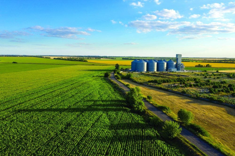
“Probably the biggest (reason) is it’s kind of flat,” Hjertaas said.
Prairie drainage basins don’t flow the way others do because of glaciation.
“It’s basically, where the glaciers carved a valley they carved a valley and where they made a lake they made a lake,” said Pomeroy.
Stream erosion had little effect and as a result most of the water doesn’t flow like it does elsewhere.
“The rest of the world has very clearly defined drainage basins and in the Prairies it’s very hard to figure out where they are,” Pomeroy said.
High water will drain off fields into any depression it can find, but the water will create its own stream when the depressions are filled to capacity and saturated soil, runoff and high snow pack are added to the mix.
“That’s what’s been happening the last few years and a lot of people have found their farmyards or their roads are right where those channels are forming,” Pomeroy said.
The watershed area then becomes dramatically larger.
“Where in a drought year maybe five percent of what would be the mapped area of the watershed is actually contributing flow to the stream, in a wet year it can go up to 50 percent or 80 percent or even 100 percent,” he said.
Hjertaas said the other challenges to modelling are measuring snowfall, whether the soil is frozen or not, and how fast or slow the melt occurs.
Pomeroy has developed a cold regions hydrologic model that addresses some of these factors, but Hjertaas said the next problem is the lack of information to plug into the model.
The WSA intends to establish more stations to gather real time weather data rather than relying on Environment Canada.
“We also need good data on elevation changes on the ground,” Hjertaas said.
Being out 30 centimetres or so in the mountains might not cause problems, but in southern Saskatchewan it can make a huge difference in how a stream flows.
The WSA has had a model for the last year that looks at flows and inflows on the Qu’Appelle River system. It has also strengthened its computer system to handle more data in anticipation of more models.
Pomeroy said hydrological modelling could also address the issue of farmers undertaking their own drainage.
“I’m sympathetic to farmers because they’re trying to get this excess water off the fields,” Pomeroy said. “However, it’s making the problem worse because it’s not being held back at all.”

