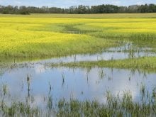
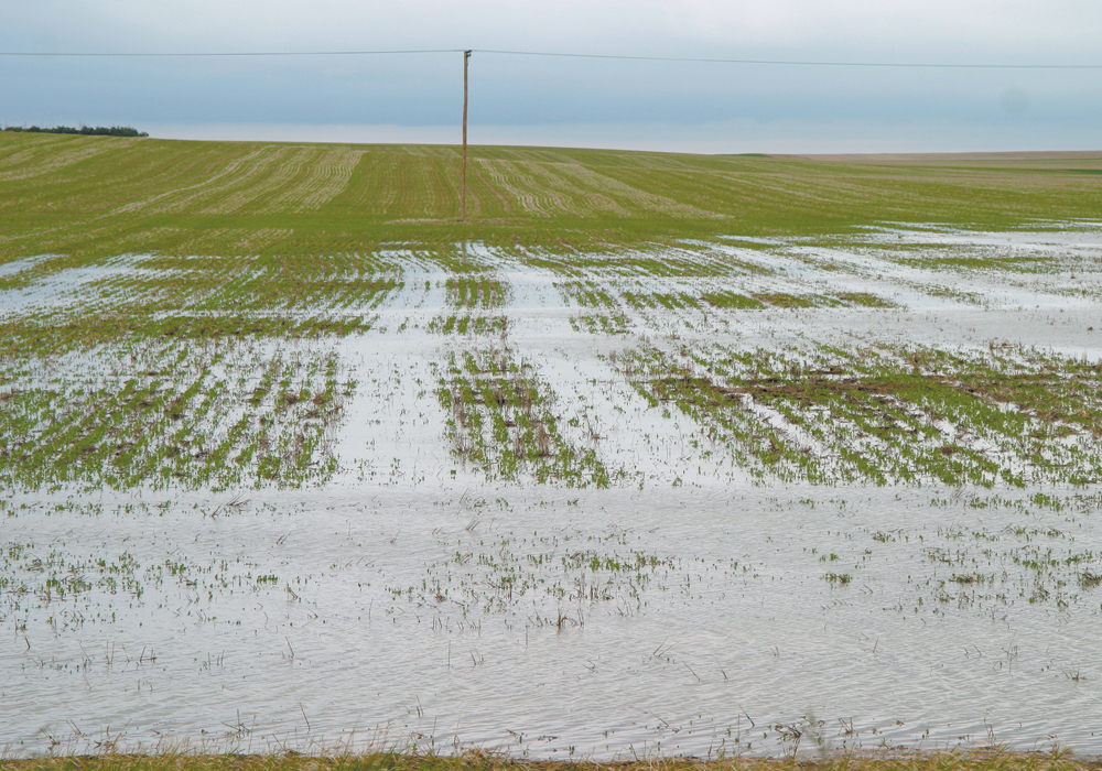
A cost-share arrangement with Ottawa will result in final flood maps for 22 priority communities in the next three years
The Saskatchewan government is spending $2 million this year on flood mapping in at-risk communities.
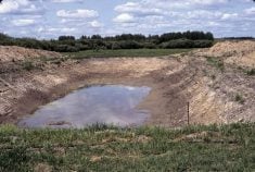
The Water Security Agency identified Moose Jaw, Saskatoon, Regina, Weyburn, Tisdale and Melfort under the Flood Hazard Identification Mapping Program this year.
Work has been ongoing for years in many communities including smaller centres such as Arborfield, Borden, Cudworth, Eastend, Foam Lake, Gainsborough, La Ronge, Lashburn, Maple Creek, Wadena, Watson and Wolseley.
Minister responsible for WSA Jeremy Cockrill told the economy committee during budget estimates for the agency that flood prevention is worth the money.
Read Also
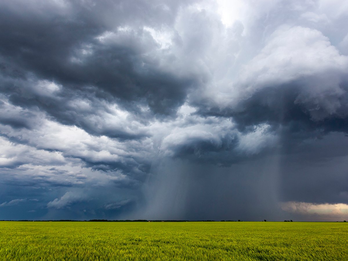
Extreme rain increases as planet warms
In this issue, we are going to wrap up our look at extreme rainfall by examining the different weather patterns that tend to be associated with these rainfall events.
“Flood plain mapping is vital in community planning for extreme weather events,” he said. “And under Saskatchewan’s climate resilience measurement framework, the goal is for all at-risk communities to have necessary flood mapping in place by the year 2030.”
He said the WSA is working with Natural Resources Canada to build its flood mapping program, and a cost-share arrangement with Ottawa will result in final flood maps for 22 priority communities in the next three years.
The province is also spending $500,000 on flood damage reduction programs in municipalities.
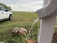
Cockrill said because the last couple of years have been dry, water supplies could be threatened more often in the future. The province’s supply system must be ready to support the population.
The province handles 72 dams and 240 kilometres of conveyance channels that require ongoing maintenance and upgrades.
This year’s budget earmarks $40 million for rehabilitation work, including an improved water supply system at Pike Lake, substation replacement at the East Side pump station at Lake Diefenbaker, upgrades to the Buffalo Pound control structure and structural improvements at the Candle Lake dam. Work on dams is prioritized based on annual assessments.
A $500,000 pilot program will see WSA work with local municipalities and other third parties who own other infrastructure that intersect with that owned by the agency.
“The intent of this pilot program is to evaluate the potential for a more permanent program into the future,” Cockrill said. “This pilot program will also help establish a consistent approach for working with assets owned by third parties that could have an impact on Water Security Agency-owned water control structure and operations.”