Provincial electoral boundaries are shifting in rural Saskatchewan under a proposed new electoral map released last week.
The boundaries are being redrawn after the government passed legislation to add three seats to reflect the growing population. The total number of seats will rise from 58 to 61.
When the legislation was introduced last December, the government suggested the three seats would include one in Saskatoon, one in Regina and one rural.
However, when the three-person commission examined the census data and used the number of voters as opposed to total population, it found that Saskatoon should gain two seats and Regina should gain one.
Read Also
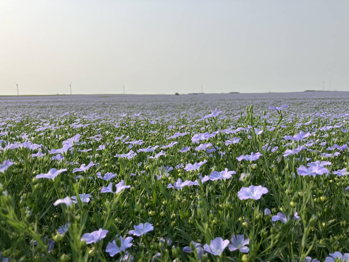
Huge Black Sea flax crop to provide stiff competition
Russia and Kazakhstan harvested huge flax crops and will be providing stiff competition in China and the EU.
One seat in each of the cities is considered a hybrid, or mix of urban and rural.
The proposed Saskatoon Stonebridge-Dakota would take in a rural area north, east and south of the city including the communities of Clavet, Bradwell, Elstow and Dundurn.
Regina Wascana Plains would include farmland north of the city and the White City and Emerald Park areas to the west, up to but not including Pilot Butte and Kronau.
Regina Qu’Appelle Valley, which has some rural area, would be eliminated in the new map.
Each constituency is to have 13,059 voters, plus or minus five percent, and many of the boundaries for the 33 rural constituencies have changed.