If you were planning on heading to the lake over the long weekend in south and central Alberta, or western Saskatchewan, the weather forecast isn’t looking very good.
However, if you’re hoping to grow a crop this year the forecast for these areas is fantastic, as a significant amount of rain should start falling soon and continue into the weekend.
This map, from the U.S. National Weather Service Weather Prediction Center, was issued just before noon May 18 and it’s for 6 p.m. Thursday to 6 p.m. Sunday.
Read Also
Farmland advisory committee created in Saskatchewan
The Saskatchewan government has created the Farm Land Ownership Advisory Committee to address farmer concerns and gain feedback about the issues.
More than an inch of rain is likely to fall across much of south and central Alberta over these three days.

This rain accumulation map is for 6 p.m. Sunday to 6 p.m. Tuesday and it shows the system will weaken, but could still bring rain across Prairie growing regions.

The following map is the seven-day precipitation accumulation map for 6 a.m. Wednesday May 18 to 6 a.m. Wednesday May 25. Most cropping regions in western Canada should receive some rain in the next week, but southern Manitoba could receive up to two inches.

Looking ahead to following week, the next map is a precipitation forecast from the U.S. Environmental Modeling Center at NCEP for May 25 to May 31, and it suggests there will be a lower than average chance of precipitation across the Prairie provinces.

The following June 1 to June 7 map shows a continuation of lower than average chance of rain, while the June 8 to June 14 map shows a system could begin to move into northern Saskatchewan.

The long-range temperature forecast continues to suggest above average temperatures for the Prairies, as these maps for June 1 to June 14 illustrate.

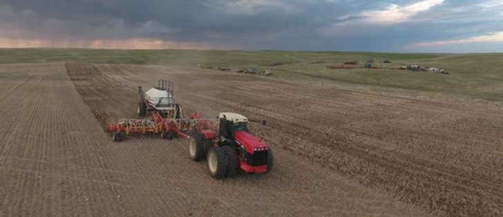
Canola getting planted in NE Sask #plant16 #teamtracks @westernproducer @CDNag @BourgaultAg pic.twitter.com/VCGwOrR2HB
— Robert Makowsky (@robmakowsky) May 18, 2016


