Space. For the starship Enterprise, it was the final frontier.
For Agriculture Canada researcher Guy Lafond, it is the next step in the evolution of prairie farming.
Earlier this year, Canadian company MacDonald Dettwiler and Associates (MDA) offered Lafond a chance to boldly go where few farm researchers have gone before.
Lafond, who works at Agriculture Canada’s research facility in Indian Head, Sask., was asked if he would help MDA and the European Space Agency (ESA) in a project aimed at assessing the capabilities of radar satellite technology.
Read Also
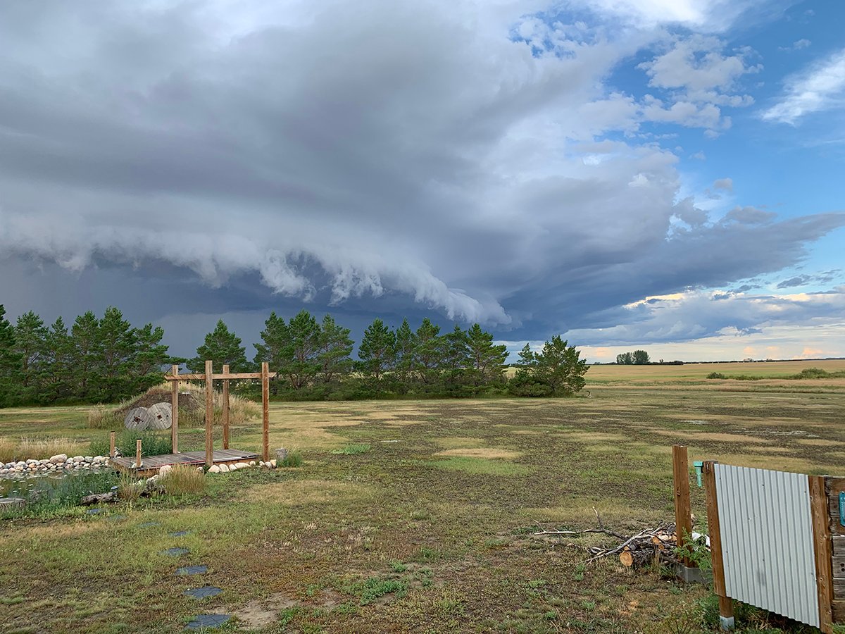
Storm dynamics and extreme rainfall
Besides moisture, instability and orographic lift, the next biggest factor that contributes to heavy or extreme rainfall is storm dynamics.
MDA, which owns and operates a Canadian radar satellite known as Radarsat2, is a world leader in developing synthetic aperture radar, a technology that can capture remarkably accurate, high definition images of the earth’s surface.
Unlike widely used spectral satellite technology, synthetic aperture radar technology can capture satellite images at night and through heavy cloud cover.
The ESA is building and launching its own radar satellites and wants to assess the capabilities of existing radar satellites, such as Radarsat2.
When they are built and launched, the ESA satellites will form the backbone of a new global monitoring system known as the Global Monitoring for Environment and Security (GMES) initiative.
It will allow scientists to monitor global environmental conditions with greater accuracy, understand and mitigate the effects of climate change and monitor ground-based activities that could pose a threat to civil security.
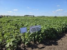
Lafond’s contribution to the GMES initiative is a project known as AgriSar 2009, in which he will work with MDA scientists and Saskatchewan researchers to gather ground data within a 25 kilometre radius of the Indian Head research farm.
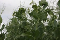
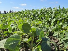
The team will collect data from farm fields within the study area, recording land cover, crop type, crop condition, soil moisture and crop biomass and yield.
The data will be cross referenced with radar satellite images to determine the satellite’s ability to properly identify certain crop types and environmental conditions on the ground.
Lafond said the opportunity to work with MDA and the ESA could open up exciting new frontiers for agricultural researchers and producers.
For example, the radar waves emitted by Radarsat2 are sensitive to the presence of surface water but they cannot accurately measure moisture at different depths of the soil profile.
Because subsurface moisture is a key variable for agricultural producers, Lafond has asked MDA officials about the potential for developing systems including land-based radar that could more accurately determine moisture levels at different soil depths for individual fields.
“If we could do that, that would be a tremendous tool for producers in Western Canada because … producers would have a pretty good idea of what their moisture contents are and they could then adjust certain crop inputs, such as fertilizer, accordingly,” Lafond said.
Because of radar imaging’s sensitivity to water, it also has considerable potential for estimating biomass production.
Spectral satellite imaging can do that too, but environmental conditions and darkness limit its capabilities. Lafond said the potential for using land based satellite systems is particularly exciting, especially as farm machinery becomes more automated and the demand for real time information increases.
For example, spectral satellites used in the Landsat program pass over parts of Western Canada every 16 days.
If cloud cover is present, producers seeking current data have to wait another 16 days for the satellite to orbit.
Together, the 32 days required by Landsat to complete two orbits represent a third of a growing season, Lafond said.
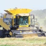
“Maybe we can make a strong case for actually developing on-the-ground radar sensors rather than remote sensors from space because as we move into the future, I’m sure that the whole area of robotics in agriculture is just going to keep increasing,” he said.
“I foresee a day a day when farmers will have equipment that goes up and down the field, operating by itself and when that happens, one of the control systems that we’ll need is something that can tell the machine that the soil is wet ahead of it, and in situ radar could be a very good instrument for that.”
The Indian Head project is one of three that will provide ground data to the ESA this year. The others are in Flevoland, Netherlands, and Barrax, Spain.
Lafond said Indian Head was considered ideal for a ground-truthing project because the area produces a wide variety of crops. This will allow researchers to determine whether radar technology can distinguish between crop types.