Weather extremes in recent months have so far had limited impact on global crop production but the prospects for the coming year are uncertain as the world faces the return of El Nino, coupled with exceptionally warm ocean temperatures.
El Nino and La Nina are the two ends of the Pacific Ocean oscillation and we know their usual impacts.
Broadly speaking, in the La Nina phase of the oscillation, warm water dominates the western Pacific and it’s cooler near South America. In the El Nino phase, warm water spreads toward South America.
Read Also
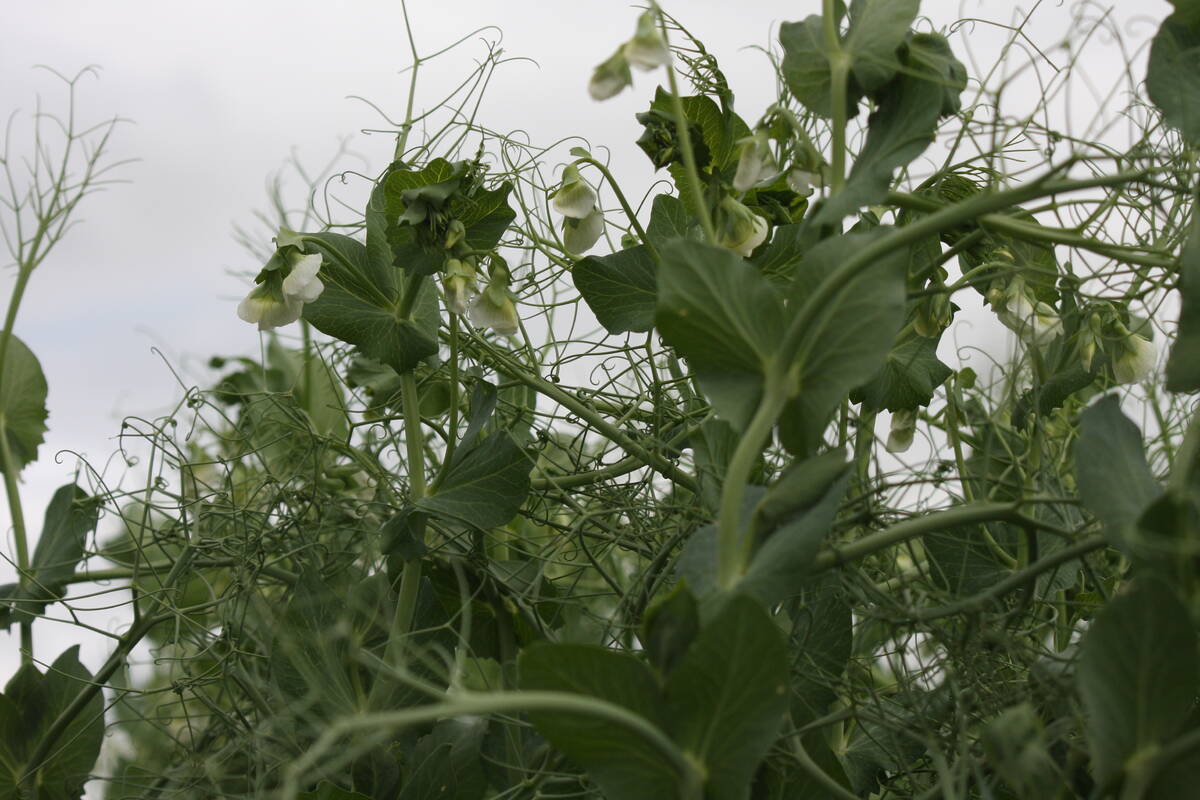
High pea yields shock farmers
There is going to be a massive pea carryout at the end of this crop year.
But we don’t know what will happen when El Nino meets record warm ocean temperatures all over the world.
July set a record for the highest global monthly sea surface temperature anomaly of almost 1 C warmer, according to the United States National Oceanographic and Atmospheric Administration. Sea surfaces were 0.07 C higher than in June, which was the previous all-time record-high anomaly.
Sea surface temperatures were above average across much of the northern, central and western Pacific, the Atlantic and the Indian Ocean, NOAA said.
In an extreme example, water temperatures off the coast of southern Florida recently reached 38 C.
Warm oceans affect the weather on land and affect storms, rainfall and temperature.
So there is a lot of uncertainty, but for now, so early in the 2023-24 crop year, forecasts for global crop production are benign.
Yes, there are trouble spots, the most obvious being the drought that has gripped Western Canada this growing season slashing yields.
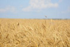
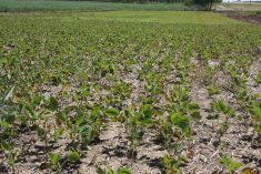
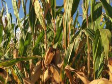
The U.S. Department of Agriculture’s World Agriculture Supply and Demand monthly report for August forecasts total world production of all four major crops — corn, wheat, rice and soybeans — will be higher than in 2022-23.
As I noted in a previous column, the catastrophically bad weather of recent months did not hit the world’s most critical crop-producing regions.
But just because production is forecast to rise, it does not mean it is keeping up with rising demand.
The USDA forecasts that global 2023-24 year-end stocks will rise in soybeans and corn, but fall in rice and wheat.
And I should emphasize that these early global production forecasts are very tentative. For example, the forecasts include soybean and corn crops in South America that are not yet planted.
But the global production forecasts help explain the relative calm in crop markets and why futures prices are all lower than they were at the start of 2023.
The trade believes we are not in a crop emergency. Supply is more tenuous than it was pre-pandemic and pre-Ukraine war, but it is not in crisis.
But what will happen in coming months?,
Michael Cordonnier, a respected analyst of South American crops, in a recent posting at Soybean and Corn Advisor, noted that the unusually warm ocean water could make the impact of this El Nino greater than in past strong events.
Usually, the shorthand explanation for how the southern oscillation affects South American weather is that La Nina reduces rainfall and El Nino increases it.
But it is more complex than that.
Cordonnier noted El Nino increases rain in southern Brazil but in central and northern regions it can decrease it.
The timing and amount of rain not only affects yields but also seeding dates. If it is too wet or too dry, Brazilian farmers delay soybean seeding in October and November and that leads to a late harvest and late seeding of the second corn crop, which can affect its yield potential.
Across the Pacific, El Nino usually causes dry weather in Australia’s cropping areas and that is the case this year.
The country was forecast to produce a wheat crop of 29 million tonnes, which was close to the long-term average. However, that would be much smaller than that last two years that had bumper crops of 39.7 million and 36.2 million thanks to La Nina rain.
That 29 million tonnes might not be achievable.
The Grain Industry Association of Western Australia this month noted the dry weather and dropped its state wheat forecast to 9.15 million tonnes, down 750,000 tonnes from last month. It forecast barley at 4.36 million, down 390,000 tonnes, and canola at 2.51 million, down 78,000 tonnes. Yields could fall more if rain did not improve.
Crop areas in eastern Australia are also dry.
India is in its monsoon season, but the amount of moisture falling this month is the lowest in more than a century.
These are concerning developments but we must be aware that they do not guarantee reduced harvests. For example, in early July worry abounded about dry weather in the U.S. Midwest but rain suddenly increased and improved crop conditions.