The weather system that chilled the Prairies this spring has moved off,
says Environment Canada.
Weather forecaster Jay Anderson said that as long as the Hudson Bay
Vortex stays in the Northwest Territories, farmers should have better
conditions to finish seeding and crops should have the heat necessary
to emerge and start growing.
“For the time being, it looks fairly encouraging,” Anderson said.
“This weekend (May 25 and 26) we saw the first summer-type patterns in
the upper atmosphere.”
Read Also
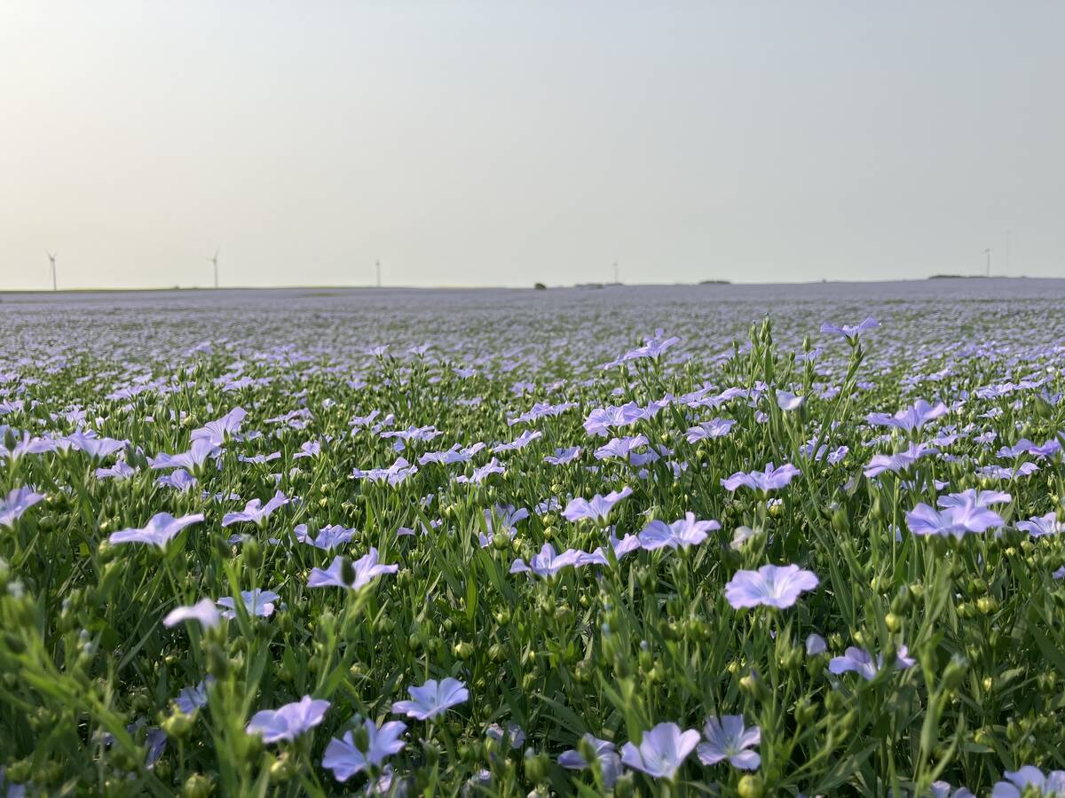
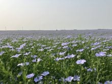
Huge Black Sea flax crop to provide stiff competition
Russia and Kazakhstan harvested huge flax crops and will be providing stiff competition in China and the EU.
Seeding has been held back and crop emergence significantly delayed by
the long cold spell that has gripped the Prairies since Feb. 24.
That was when the Hudson Bay Vortex formed, a phenomenon Anderson said
sucks cold, Arctic air into the Prairies.
Since then, many locations have set record cold temperatures and
seeding has been delayed.
“There’s one word for this spring Ð frustrating,” said Canadian Wheat
Board weather analyst Bruce Burnett.
Some farmers have held off seeding until they get the right combination
of soil temperature and moisture for good germination. Others have
taken a gamble and seeded into imperfect seed beds.
Anderson said the Hudson Bay Vortex’s departure does not necessarily
mean the widespread drought will also end.
However, the recent heavy snow-rain system that moved across southern
Alberta, southern Saskatchewan and southern Manitoba has alleviated
some producers’ immediate problems.
Pincher Creek, Alta., has now received 97 percent of the moisture it
would normally receive between April 1 and the end of May, Anderson
said.
That doesn’t make up for critical shortages in subsoil moisture, but
will help many farmers.
Across much of the southern plains, this recent dose of moisture has
been just what farmers needed, bathing seed beds with 40 to 80
millimetres.
Many areas did not receive average precipitation, but nearly so.
North of the Trans-Canada Highway and further east, conditions are
worse. Calgary and Brandon have received only 35 percent of normal
precipitation since April 1, and Saskatoon has received 31 percent.
Anderson said the drought has moved into Manitoba, with dry conditions
dominating all the way to, but not including, the Red River Valley.
Swift Current, Sask., provincial extension agrologist Jim Pratt said
the recent snow and rain has allowed local farmers to get crops started
and the fields are beginning to green.
“Over most of the area there’s sufficient moisture to get things
going,” Pratt said.
“Right now things are not looking so bad. But we need about two inches
of rain to keep it going.”
Things are looking worse around Saskatoon,
where extension agrologist David Hryhor said crops need a good rain
before they even get going.
“Basically, it’s dry, dry, dry,” he said.
“You hear about these million dollar rains. If we got one here now, it
would be a major multi-million dollar rain.”
Burnett said if dry conditions continue for many more days, farmers
will probably start switching unseeded acres from oilseeds to cereal
crops.