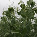
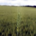
OSLO, Norway (Reuters) — Scientists have found a way to forecast El Nino weather events in the Pacific Ocean a year in advance, which is long enough to let farmers plant crops less vulnerable to global shifts in rainfall.
While far from flawless, the technique doubles current six-month predictions of El Nino.
“Better forecasting will mean farmers can adapt,” said Hans Joachim Schellnhuber, head of the Potsdam Institute for Climate Impact Research and co-author of a report with experts in Russia, Israel, Germany and the United States.
Read Also
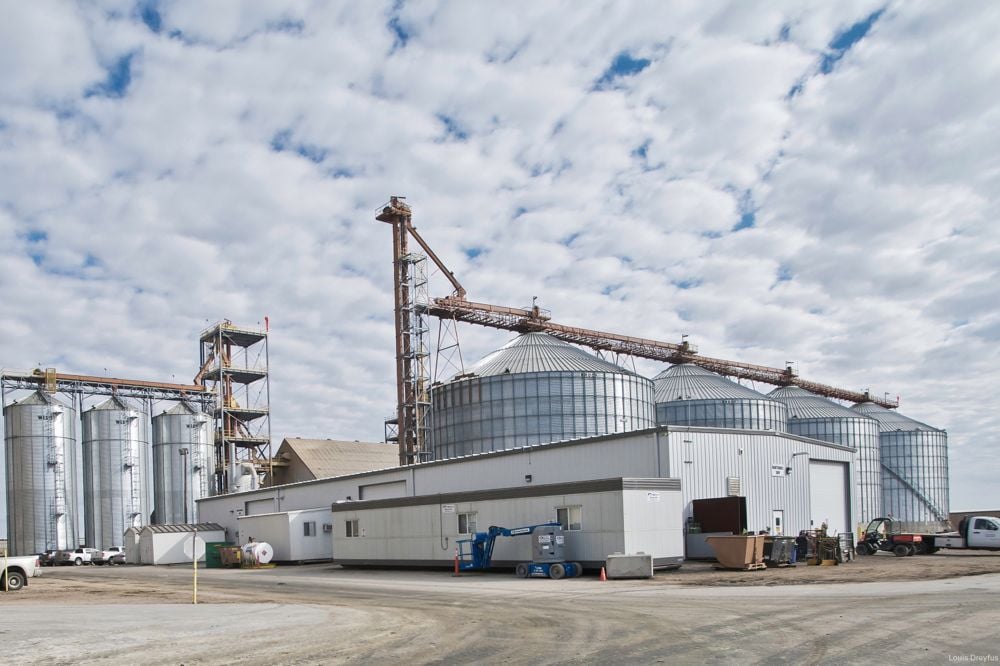
Louis Dreyfus posts higher volumes, lower profits in first half
Agricultural commodity merchant Louis Dreyfus Company recorded a rise in first-half sales, supported by higher volumes shipped, but weaker prices for most crops pushed down profits, it said on Friday.
El Ninos are a warming of the eastern Pacific Ocean linked in the past to floods in Peru and Ecuador, droughts in Australia and Indonesia and maybe severe winters in Europe.
They typically happen every two to seven years, but scientists have been unable to find the causes of patterns that have occurred naturally throughout history and are among the most disruptive of extreme weather events.
The new system, built on a network of temperature records around the Pacific Ocean since 1950, correctly spotted El Nino events a year in advance more than half the time and gave false alarms fewer than one year in 10.
Even though the new computer system is not always right, farmers might find it worthwhile to invest in drought- or flood-resistant varieties of crops when there was a risk of an El Nino in a year’s time.