Flood water is threatening three farm sites along the west side of Highway 6 south of Southey, Sask.
Berms, sandbags and other flood protection measures have been put in place by the Rural Municipality of Cupar, the highways ministry and the Water Security Agency as officials attempt to keep the water back.
Reeve Ray Orb said at least 50 roads in the RM are under water, and he has heard of a grid road further north in another municipality that is under nearly two metres of water.
Read Also
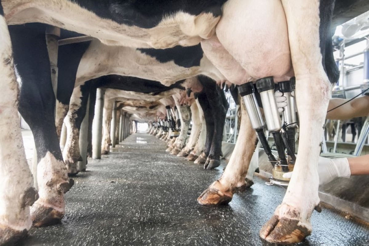
Farm gate milk price to rise in 2026
The Canadian Dairy Commission will raise its farm gate milk price by 2.3255 per cent in February, the Crown corporation announced on Friday.
“Our RM is in big trouble,” he said today.
It, along with the RM of Longlaketon, has declared an emergency and applied for eligibility under the Provincial Disaster Assistance Program.
The water is coming from natural flow and sloughs along the highway that were already saturated, Orb said. However, the water is flowing north, where it has never run before.
Last fall the region got 180 millimetres of rain in three days. Wet snow this spring has also contributed to the problem.
Patrick Boyle of the WSA said the water is all local runoff from the Earl Grey district to the west, which is making its way through the system.
“The general area has a number of semi-terminal basins,” Boyle said. “This leads to what we call the fill and spill effect.”
Orb said he hopes pumping can begin this weekend. The water would be moved across the highway and about 10 kilometres east to Loon Creek, which flows into the Qu’Appelle system.
The town of Southey is also holding back water on its west side, as it did in 2011. If the town lets that water go, it will only add to the RM’s problem, Orb said, so the municipalities are working together to co-ordinate any releases.
Boyle added that WSA engineering staff are on the scene advising the municipalities how to proceed.
While spring runoff has occurred with little concern this year, Boyle said one other area that bears watching is the Quill Lakes. Flooding has been ongoing in those terminal basins for several years. Terminal basins have no natural outlets.
He said the municipalities around the lakes have been encouraged to form a watershed association so everyone is pulling together.
“We need them to start there,” he said.
Meanwhile, about 100 applications to the Emergency Flood Damage Reduction Program have been made so far this spring, Boyle said. Most of those have come from the east side of the province.
Contact karen.briere@producer.com


