Recovery operations are well underway in Saskatchewan after the late June flood, according to an update from several government agencies and ministries.
Regional recovery centres will remain open in West End today and tomorrow, in Esterhazy and Balcarres Wednesday through Friday and in Yorkton Friday through Sunday.
A reception centre in Crooked Lake also remains open.
The Provincial Disaster Assistance Program has approved 116 municipalities for designation under the program. So far, 968 claims have been received.
As claims come in, they are assessed immediately to determine if they qualify for a $3,000 emergency advance. Officials said 48 claims have triggered that payment.
Read Also
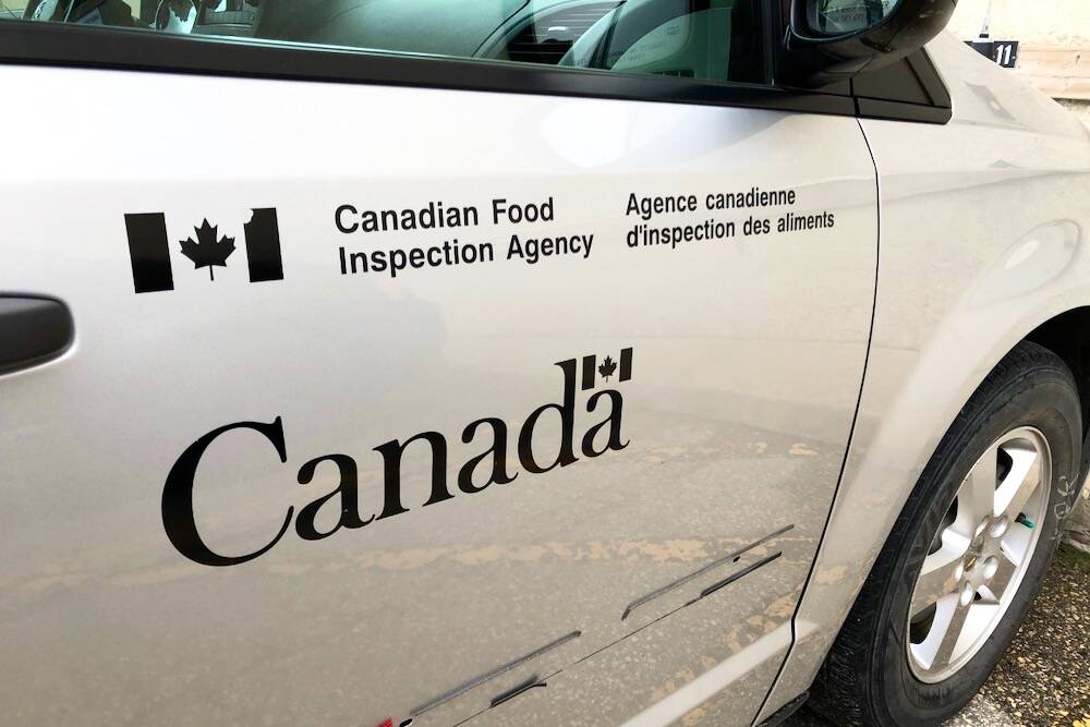
B.C. ostriches culled, CFIA confirms
Ostriches on an embattled Edgewood, B.C. farm have been culled after a prolonged legal battle, the Canadian Food Inspection Agency has confirmed.
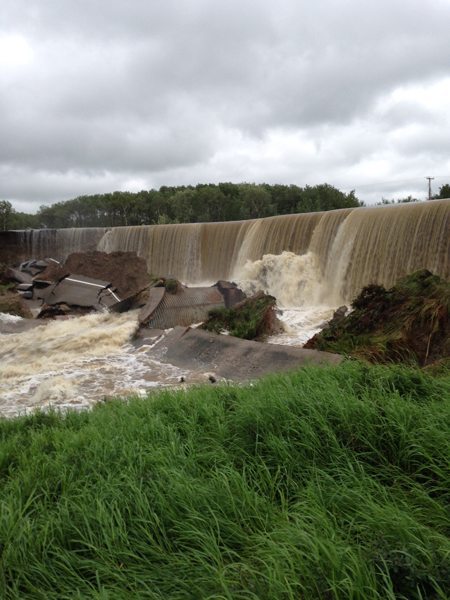
The Water Security Agency said all water is now in recession, including Last Mountain Lake, which was the last to peak. However, it is still reminding people that all lake levels will remain higher than normal this summer.
Crooked Lake, for example, is 1.41 metres higher than normal and Round Lake is 1.71 metres higher.
Last Mountain is 1.33 metres above normal summer levels.
The Quill Lakes are still taking in water, although at a slower rate. The lakes are expected to equalize at about 520.3 metres. That compares to the previous high of 519.74 metres, set last year.
The concern in that area remains the impact of the wind and wave action on roads, particularly Grid 640 running north of Wynyard.
In northern Saskatchewan, both Emma and Christopher lakes are well above desirable maximum operating levels because of rain.
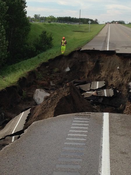
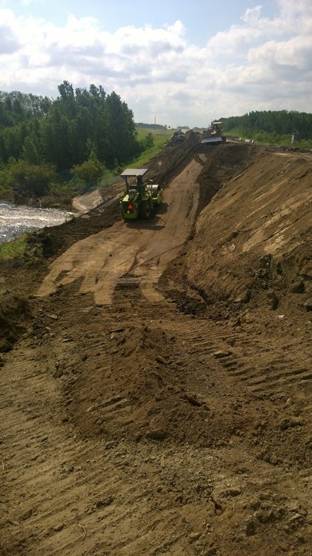
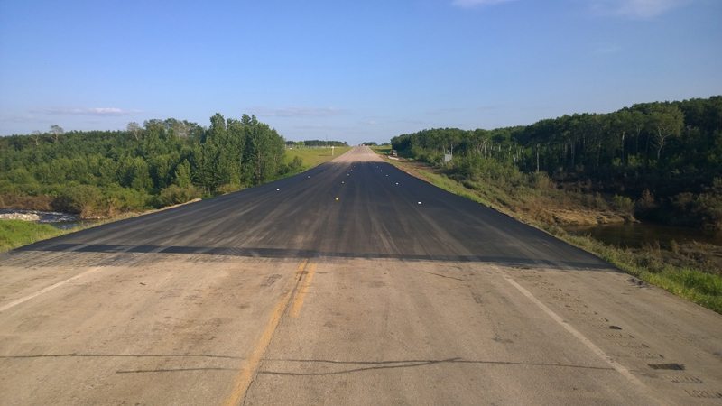
The highways ministry said Highway 16 near Elfros was re-opened to traffic late yesterday. Three highways still closed are: Highway 22 from the junction of Highway 47 and Highway 10; Highway 229 west of Highway 9; and Highway 361 from Alida to two kilometres west.
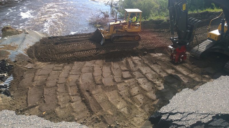
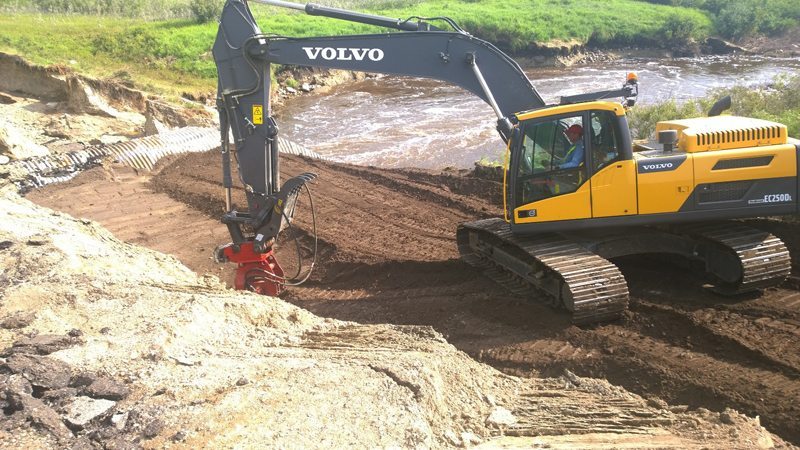
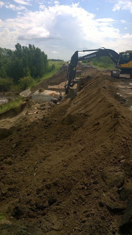
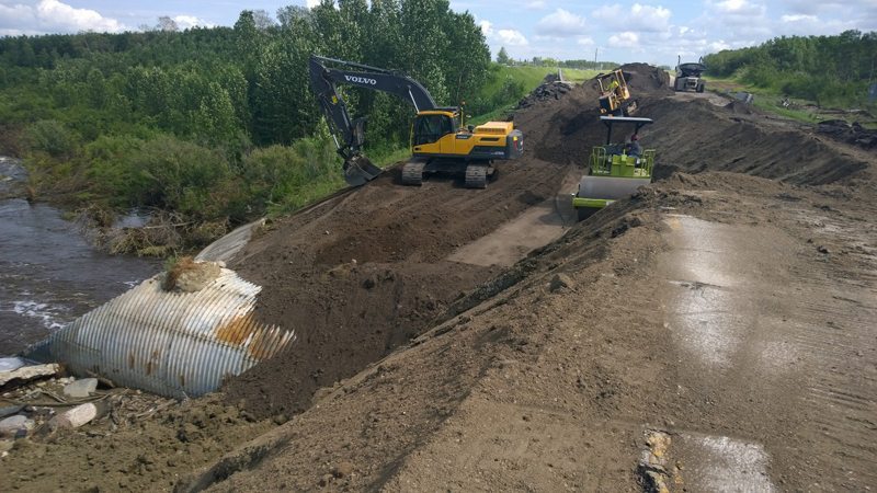
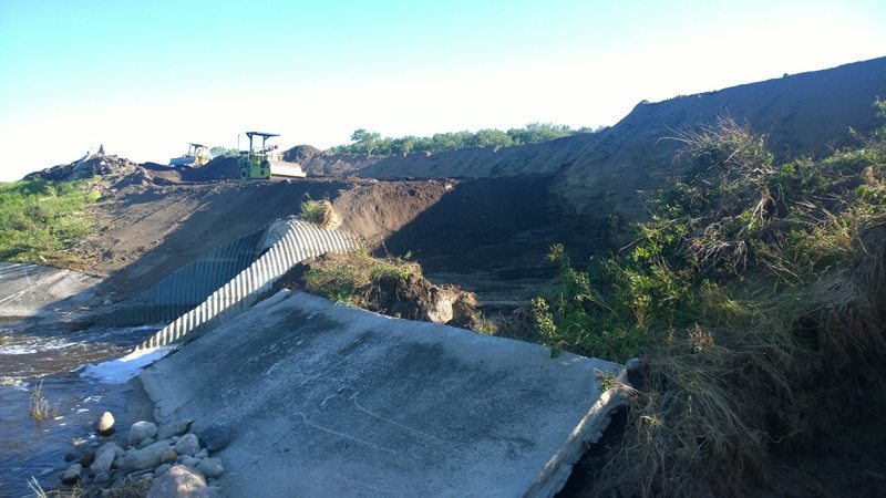
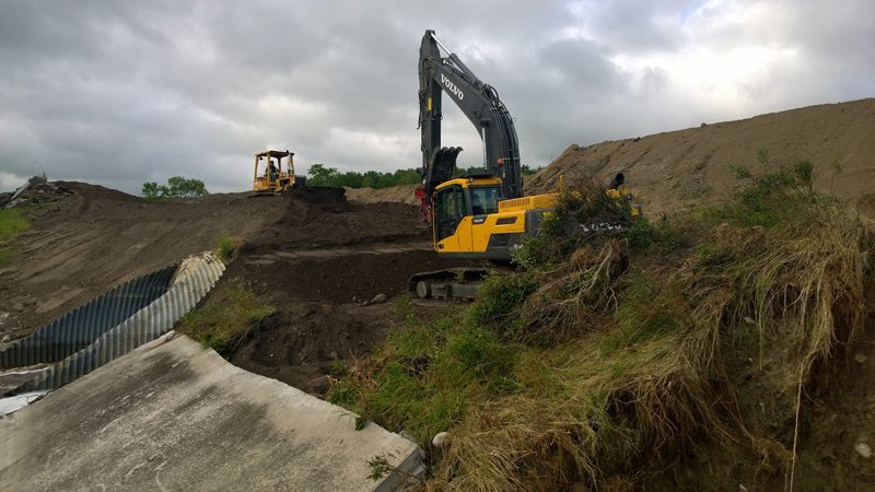
In other places, temporary repairs were made and now crews are beginning to work on the permanent fixes.
Several temporary bridges are subject to weight restrictions. A 20-tonne gross vehicle weight restriction is in effect for Highway 8 between the U.S. border and Highway 13 and north of Highway 22, Highway 18 between Highway 8 and the Manitoba border, and Highway 361 from the Manitoba border to Alida.
SaskEnergy is dealing with pipeline washouts in southeastern Saskatchewan. These are visibly marked, and the public is asked to remain a safe distance away.