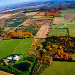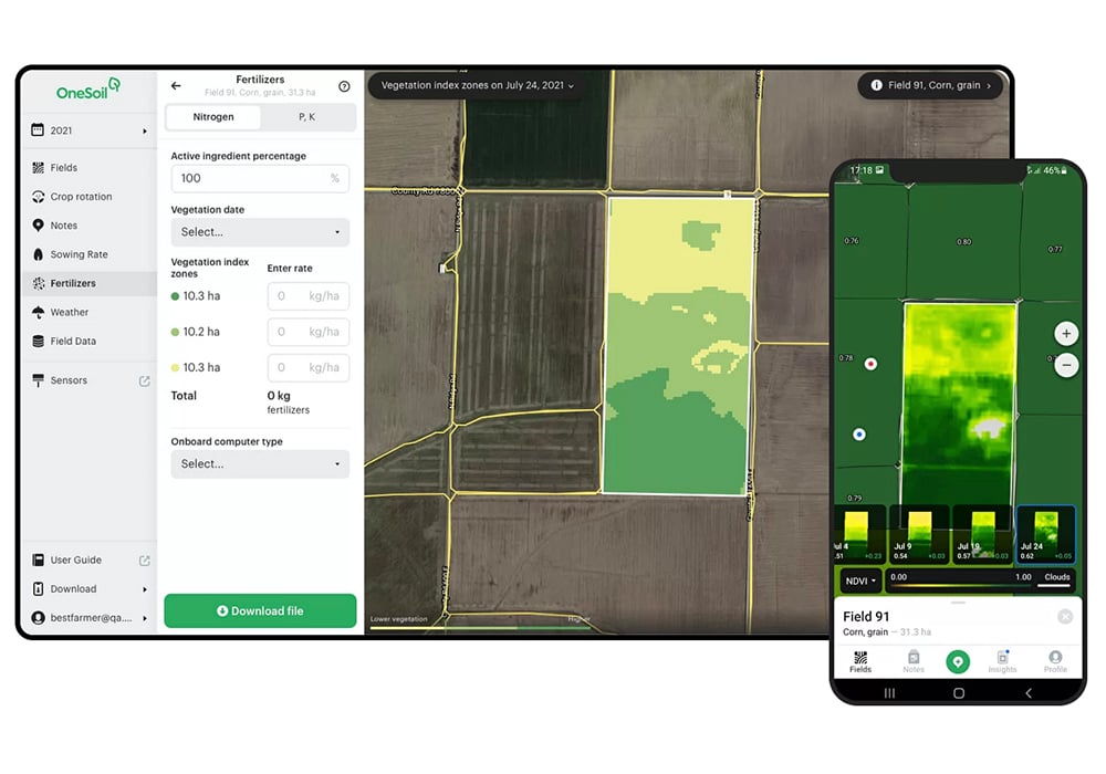
OneSoil’ s access to satellite information enables it call up any farm in the world in a matter of minutes. They do this using free public data from the European Space Agency, with high-quality 10-metre resolution.
With this data, the team builds advanced image processing technologies. Initial image processing takes three or four days, but once the images are processed, they’re available to anyone in a matter of seconds.
“The platform and application are free to any farmer anywhere. You register on our platform and start using in seconds. We believe modern technology must be available to every farmer on Earth. Our vision is to eliminate barriers in the way of widespread adoption of technology.
Read Also
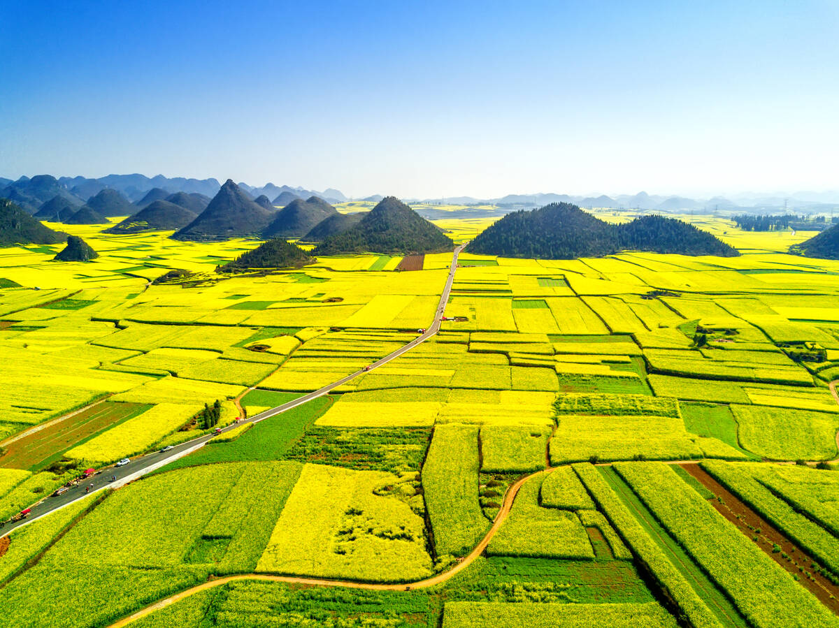
Short rapeseed crop may put China in a bind
Industry thinks China’s rapeseed crop is way smaller than the official government estimate. The country’s canola imports will also be down, so there will be a lot of unmet demand.
“Our revenue source at this moment is large institutions and large corporations for whom we provide images and analytics for a fee. In 2015 and 2016 three of us worked without a salary. Our first investment came in 2017. Now we have 30 professional specialists including agronomy people.
“To demonstrate our capabilities, we created an interactive map with data on 120 million fields in the United States, Europe and other major markets. We already know more about fields than any company or state. Statistics from machine learning algorithms are often more accurate than those collected manually.”