Data is stored in a standardized georeferenced format and used to find difficult-to-detect patterns in fields
Some of the most analyzed acres of farmland in the world are providing data that researchers in Alberta hope will advance the next generation of digital technologies for producers.
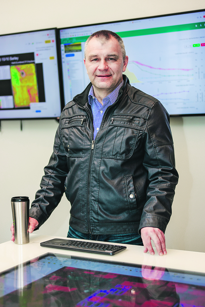
“The main reason why it’s so unique, it’s not because it’s something completely new or something impossible,” said Alex Melnitchouk, chief technology officer of digital agriculture for Olds College. “It’s just a lot of work – a lot of hard work behind the whole project.”
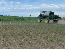
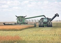
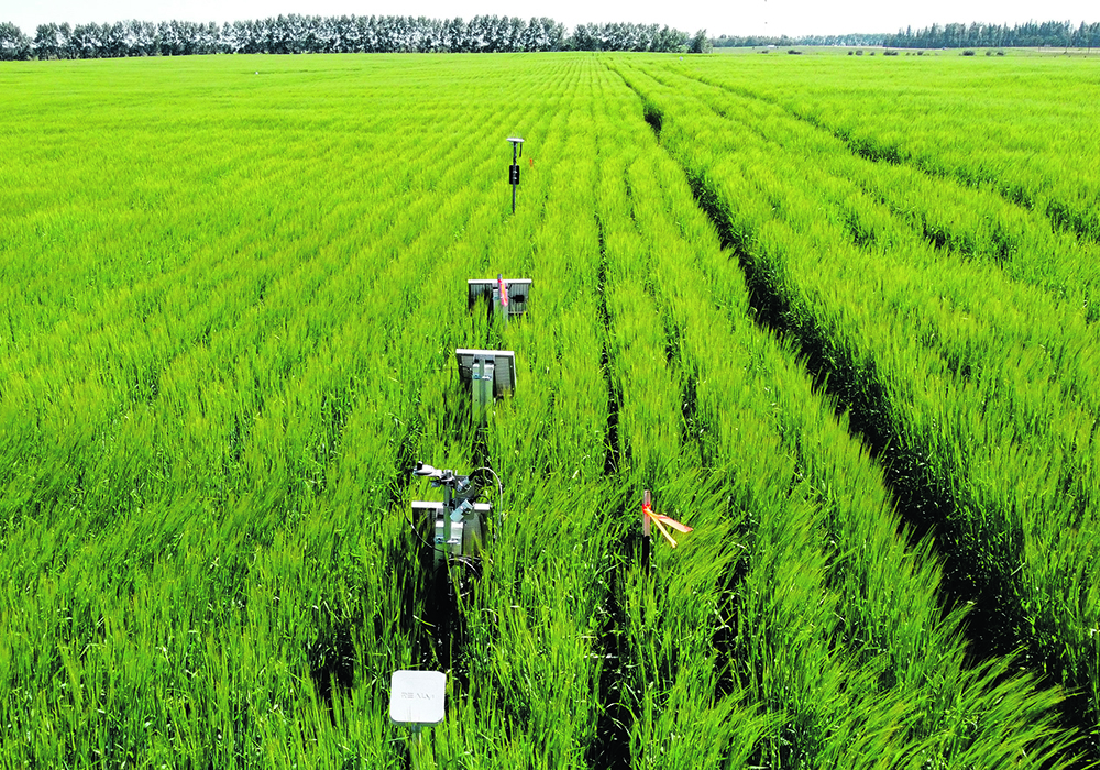
The college’s Advancing Agronomy Through HyperLayer Data Collection and Analytics project aims to bring together virtually every kind of agricultural data. The information ranges from soil nutrient and moisture mapping to topographical and yield data, along with multispectral and hyperspectral imagery of fields.
“Agriculture is one of the most challenging industries for digitalization because it’s very fragmented,” said Melnitchouck. “It’s scattered over huge areas and requires a lot of physical work. And it’s not easy, but we’ll get there.”
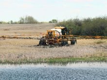
The $3.4-million initiative is partly funded through $1.4 million from the Canadian Agri-Food Automation and Intelligence Network. It is taking place on the college’s Smart Farm as well as in fields in central Alberta and Saskatchewan, said Melnitchouck.
As part of what the college describes as its HyperLayer Data Concept, multiple layers of information have been gathered from fields starting in 2020. They are stored in a database under a standardized georeferenced format linking them to specific geographical coordinates.
That makes it easier to compare and analyze different types of data from the same locations.
“‘HyperLayer’ in this case means nothing related to hyperactivity,” said Melnitchouck. “In geospatial science, typically ‘hyper’ means ‘many, many’.”
Such databases are particularly useful to train artificial intelligence and machine learning to find patterns that would otherwise be too difficult for humans to detect. Recent examples include an announcement by a team of scientists in Canada and the United States about the discovery of a new antibiotic that could potentially treat a drug-resistant bacteria that can be deadly to humans.
Machine learning and other new approaches to the problems facing society are hot topics these days, said Melnitchouck.
“And yeah, that sounds great, but when you build something for machine learning, or you build a new solution based on machine learning, you need to train the computer first (with high-quality data). The computer doesn’t know anything.”
The International Space Station took a hyperspectral image of the fields at the college’s Smart Farm in 2020. Melnitchouck said a photo taken on a regular digital camera or cellphone is based on three spectral bands of blue, green and red, which are combined into one dataset to create a colour picture.
The hyperspectral image contained more than 200 bands for each pixel, ranging from blue to the near infrared. It allowed researchers to gain information about biochemical processes within plants grown at the Smart Farm, helping to explain the interaction between crops, soil and the environment.
The HyperLayer project is starting to yield unexpected results. Researchers anticipated a request to cross reference crop diseases against every layer of data they had accumulated would show severity and prevalence as a function of biomass density.
“But as it turned out, they revealed that another important contributing factor is field topography. In other words, where there was higher ground, there was less humidity and therefore less disease, and conversely, more in low-lying areas. This is just one example of being able to provide unanticipated value, and more are sure to emerge over time.”
The research was conducted in collaboration with BASF/Xarvio as well as Agriculture and Agri-Food Canada. BASF Digital Farming donated $300,000 to the HyperLayer Data Concept as part of a three-year commitment to the Smart Farm.
Other potential outcomes include finding ways to boost the efficiency of farms so the right amount of inputs are applied to promote optimum growth, saving producers money while reducing waste. Melnitchouck said it could help with the federal government’s target to reduce greenhouse gas emissions from fertilizer by 30 percent by 2030.
“I’ve never been a fan of any restrictions or regulations. I believe that the most efficient way to improve that environmental sustainability is to increase the efficiency of the industry.
“I believe it’s just the natural way for the evolution in agriculture to become more and more efficient, more environmentally sustainable, and more viable and attractive for business.”