Ceres Imaging and Soiltech Wireless say the recent agreement allows their technology to validate each other in the field
Ceres Imaging and Soiltech Wireless have entered into an agreement that enables the two systems to work together.
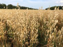
Soiltech Wireless offers a cellular-based wireless sensor, while Ceres Imaging uses in-field sensors, advanced analytics and high-resolution imagery to provide a macro-level look at crops.
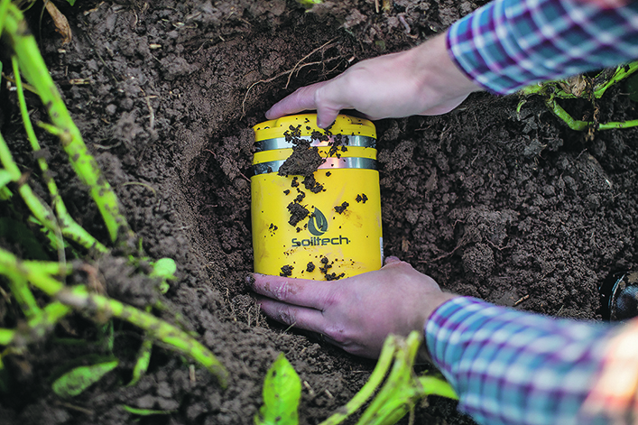
Ehsan Soltan of Soiltech Wireless said the company’s wireless sensor monitors crops through their entire production cycle from growth, harvest, transport and storage.
Users of the sensor can bury the device under the soil, and it will report moisture and temperature conditions to help them manage irrigation or look for early signs of disease.
The Soiltech sensor can also be placed above the ground, and it will act as a localized weather station by measuring temperature and humidity.
“We have a web application and a mobile application, which provides farm management tools,” Soltan said.
“We have a built-in growing degree day in our calculators as well as disease models. So, you can leverage those features above the ground. For the case of potatoes and sugar beets and onions, it’s going to be harvested right out of the ground.”
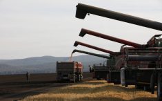
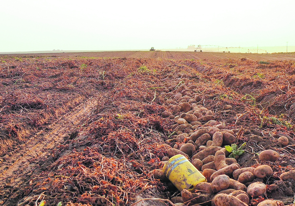
Once that happens, the sensor is loaded into trucks with the crop and used to measure bumps and bruises that occur during transport to help producers avoid crop damage.
“It’ll follow from field to a storage facility, where we will monitor temperature and humidity on the road and then in storage. So, our device operates across the whole agriculture value chain, and then you recharge it and use it again next year.”
The Soiltech sensor is also used with blueberries, grapes, avocados, lettuce, strawberries, corn, soybeans and alfalfa.
“One of the features is a moisture sensor. We work well for both irrigated and non-irrigated growers. Even if they don’t control irrigation, they still like to keep an eye on soil moisture, to help them time application of chemicals or sprays better,” Soltan said.
He said monitoring field-level growing degree day accumulation helps farmers know the stage of the crop to help time in-crop applications.
“Remote sensing really helps when growers are spread out. They might have fields 50 or 100 miles apart, and being able to understand conditions from your farm without needing to drive there can save them huge amounts of time and fuel,” Soltan said.
He said it’s important for Soiltech to work with other technology providers to offer a better value proposition for growers, and the agreement with Ceres Imaging helps the two systems validate each other.
“They’re taking really high-resolution pictures and they understand changes in above ground-canopy conditions. And then our sensor, which lives under the ground for the whole season, is validating that data and helping to pinpoint where in the fields different things might have occurred,” Soltan said.
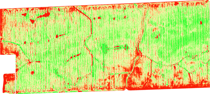
John Bourne of Ceres Imaging said the company uses in-field sensors, advanced analytics and high-resolution imagery to provide the full picture of crop health.
“We help growers and other agri-business protect yield and increase their profitability, and we do that through a proprietary sensor and a data set that we’ve accrued over the years,” Bourne said.
“We have a high-resolution aerial sensor that uses thermal images, and we combine that with other data sets, and then we do proprietary AI and algorithms that we’ve amassed over 22 million acres and nine billion plant measurements.”
Ceres typically fixes their sensor to a plane because of the scale of the area it covers.
“We tend to focus on, you know, in the hundreds and thousands of acres. We could do drones in the future; we actually started as a drone company. We just don’t find drones very scalable and cost effective,” Bourne said.
Ceres provides growers a broad range of production insights.
For instance, it can let almond farmers see the status of every single almond tree in their operation and will alert via a text message if there is a plugged drip line.
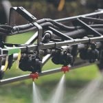
For broad acre crops, the company developed disease risk models and can supply growers with variable rate application maps for fungicides.
It also uses proprietary indexes around canopy quality to provide variable rate fertilizer maps for top dressing.
“Our growers are using us to both measure the uniformity, variability and stress to help guide in-season nitrogen applications,” Bourne said.
Ceres supports approximately 40 crop types and is available in Canada, either direct to farmers or through third-party service providers.
Ceres can be used to verify that sustainability targets are met and specific production practices are followed for environmental programs.
It is also used to quantify impacts of adverse weather events when insurance claims are made.
Bourne said Ceres is willing to integrate with any company that will enhance its customers’ experience.
“A big piece of this partnership (with Soiltech) is just part of that broader strategy, which is helping growers not have to switch between apps and to provide them with the experience that they want,” Bourne said.
“From an agronomic perspective, the Soiltech product really provides good point level data that’s around moisture and weather.”
However, he said point level data without any context is not as powerful as having it in the context of the overall field and farm.
“Soiltech is actually a lot more transportable and movable than other sensors, but still you want to place these things in representative areas of your field or it’s not that helpful,” Bourne said.
Ceres can help find the optimal place to place soil sensors in fields by looking at topography through its 3D field models.
It can also help identify areas to place sensors that corresponds to the middle of a field’s nutrient stress spectrum or average temperature profile.