Satellite imagery is key to three components of grassland research at Agriculture Canada’s research centre in Lethbridge.
Scientist Anne Smith said projects on grassland mapping, productivity measurement and invasive weeds all use data from Radarsat-2, a Canadian satellite able to “see” through clouds and provide data on a wide scale.
Smith said satellite data is being used on test sites in southern Alberta, and once the technique is better defined, research could help identify and monitor grasslands throughout Western Canada.
“There is a grassland vegetation inventory that’s been recently done (for Alberta), but part of the question is how do we update that,” said Smith.
Read Also
Herbicide resistance sprouts in Manitoba’s wild oats
Farmers across Manitoba this fall are gearing up for the latest salvo in what, for many, has become a longtime battle to beat out wild oats.
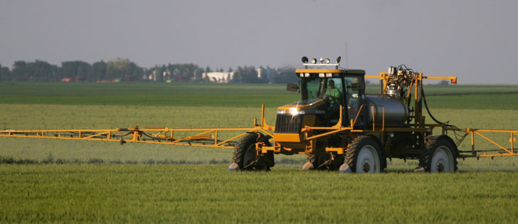
Radar technology may be able to do it in an economical way.
She hopes research can establish a baseline on location and amount of native grassland so that changes caused by cultivation or climate change can be recognized.
The United States and Australia both have programs to estimate grassland productivity, and Smith said she is applying both programs to the Canadian situation.
The practical application is to develop potential recommendations on the stocking capacity of grasslands.
She said mapping the location of leafy spurge will allow biological controls to be better targeted and help gauge the effectiveness of weed control efforts.
Satellite imagery provides spatial information on target areas, and the rest can be interpolated to produce a leafy spurge map of a large area.