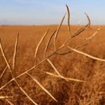
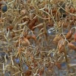
The radar images from Western Canada indicate that there is minimal storm activity across the Prairie region which will help advance harvest activity today and through the weekend. The exception is the eastern Prairies which are expecting more scattered rains later today. The western Prairies are expected to be dry through the weekend. The dry weather should push the Western Canadian harvest close to two-thirds complete by next week. There are chances of scattered showers in eastern and central Manitoba on the weekend which will drop 5 to 15 mm of additional rainfall on the weekend.

Cloudy weather in the eastern Prairies will keep temperatures mostly in the upper teens to low 20’s. The western Prairies are expected to be warmer with highs mostly in the mid 20’s. This trend of warmer temperatures in the west will continue through the weekend with highs mostly in the mid 20’s on the weekend. The eastern Prairies will see temperatures remain mostly in the upper teens through the weekend before rising into the low to mid-20’s next week.

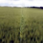
The long term forecast is indicating a large change in the weather pattern with troughing developing on the west coast and a strong ridging pattern continuing in central North America. This will bring warmer than normal temperatures in the eastern Prairies through the end of the month. The weather pattern should result in increased chances of rainfall in the western growing regions, while the eastern Prairies should remain mostly dry. This is good news as the harvest in the western Prairies should be essentially complete by then. This will give the eastern Prairies a chance to get back into the fields and catch up from the recent delays.

To continue reading, please subscribe to Western Producer
Subscribe nowAlready a subscriber? Log In