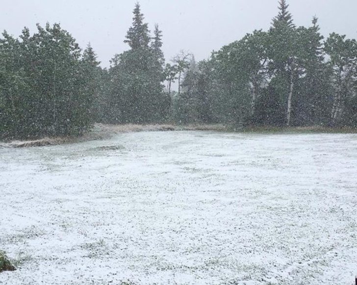
The Peace region in northern Alberta is under a snowfall warning, where 10 to 15 centimetres could fall over the next 24 hours.
Seeding was 30 percent complete in the region as of May 10, according to the latest Alberta crop report.
The following long term precipitation forecast from the National Centers for Environmental Prediction shows the weather system will bring significant precipitation to the Peace region and other parts of Alberta. Conditions could be drier in late May and early June.

Read Also
Cattle smuggling worsens outbreak in Mexico
Cattle being smuggled across Mexio’s southern border are making a screworm outbreak much more difficult to control.
Most of Alberta will receive precipitation over the next few days.
The following map, from the U.S. National Weather Service Weather Prediction Center, was issued Thursday afternoon and is for 6 p.m. Thursday to 6 p.m. Sunday.
More than an inch of rain is likely to fall across much of south and central Alberta, as well as southwestern Saskatchewan over these three days. The scale in these maps is in inches.

It appears only light accumulations can be expected early next week as the following map suggests, which is for 6 p.m. Sunday May 23 to 6 p.m Tuesday May 25.

The following map is for 6 p.m. Tuesday to 6 p.m. Thursday, and it shows the potential for light accumulations across most of the southern Prairies.

Looking ahead to following week, the next map is a precipitation forecast from the U.S. Environmental Modeling Center at NCEP for May 26 to June 1, and it suggests there will be a slightly greater than average accumulations of precipitation in central Alberta and southwest Manitoba and normal accumulations in much of the central Prairies.

During the following two weeks, from June 2-8 and June 9-15, the following maps indicate there will be average to less than average accumulations of precipitation for most of the Prairies. 

