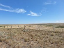
Rainfall warnings continue today for southeastern Saskatchewan where up to 50 mm could fall in the next 24 hours as a low-pressure system over eastern Montana intensifies and moves into the province.
This map, from the U.S. National Weather Service Weather Prediction Center, was issued at just before noon May 10, and it shows precipitation forecast for 6 p.m. May 11 to 6 p.m. May 12.
A low-pressure system that brought much needed rain to a large swath of southern Saskatchewan is moving east, across the province and into eastern Manitoba.
Read Also
Canola oil transloading facility opens
DP World just opened its new canola oil transload facility at the Port of Vancouver. It can ship one million tonnes of the commodity per year.

By Thursday afternoon the system will have weakened and moved east, out of Saskatchewan and into Manitoba, as this map, for 6 p.m. Thursday to 6 p.m. Friday, indicates.

By Friday afternoon the low-pressure system will have moved through Manitoba as this map, for 6 p.m. Friday to 6 p.m. Saturday, shows.

Skies will likely remain clear once the current weather disturbance passes, up until the end of May.
The following maps from the U.S. Environmental Modeling Center at NCEP, show the precipitation prediction for May 10 to May 16, and then May 17 to May 23.
The current weather pattern over the Prairie provinces can be seen in the top map, then the bottom map shows a lower than average chance of precipitation
 .
.
This map shows precipitation prediction for May 24 to May 30, and then May 31 to June 6.
The first map shows rain is possible for southern areas across the prairie provinces, while the second map shows a possible system moving into southern Manitoba.

Here is an precipitation accumulation map for the last 24 hours from environment Canada.

There were even some reports of snow in southwestern Saskatcehwan
@CDNag what rain? Going to be picking trees up before can seed again pic.twitter.com/PJklmVU4sn
— Barnyard (@Barnyard19) May 10, 2016
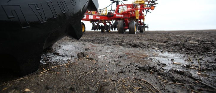
#plant16 shut down east of Saskatoon on this rainy day. @CDNag @westernproducer pic.twitter.com/bmaRq0ZARv
— Robert Makowsky (@robmakowsky) May 10, 2016
The rain is here but hope it’s making its way up to #yym. #plant16 @westernproducer #farm365 #saskag #Saskatchewan pic.twitter.com/dCzVuYYnYw
— Highheels&fields (@lesleyraekelly) May 10, 2016