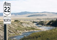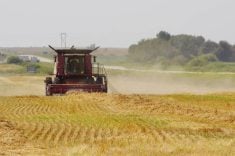
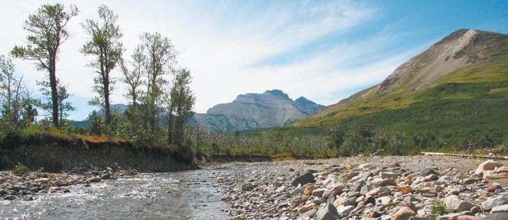
FORT MACLEOD, Alta. — Maps of the roads and trails along the eastern slopes of the Rockies within the Oldman River watershed look no more organized than a plate of spaghetti.
Roads made for forestry, oil and gas exploration and transmission lines criss-cross with trails made by campers, off-highway vehicle users and cattle herds.
Such “linear disturbances,” as they are called by the mappers, have harmed habitat for wildlife, native plants and trout and increased soil erosion into waterways that affect downstream water quality.
The province is now starting a process to reduce the linear footprint in sensitive areas and develop a recreation plan that will provide access guidelines for campers, off highway vehicle riders and other users of public lands.
Read Also

New coal mine proposal met with old concerns
A smaller version of the previously rejected Grassy Mountain coal mine project in Crowsnest Pass is back on the table, and the Livingstone Landowners Group continues to voice concerns about the environmental risks.
Heather Sinton, the provincial environment department’s director for land and environment planning in the south region, said the process will begin in the Porcupine Hills of southwestern Alberta and then address the nearby Livingstone region.
The South Saskatchewan Regional Plan, completed in July 2014, indicated the need for plans to reduce disturbance in those areas, Sinton told a March 10 Holding the Reins conference in Fort Macleod, Alta.
“We need users to understand what they can do, where and when,” she said about the multiple interests that access the region.
Sinton said the department hopes to have a draft plan to reduce linear disturbance by summer, followed by public consultation. A recreation plan will follow.
The plans are likely to result in regulations limiting access in some areas.
“Basically we’re thinking that access will be quite limited. In fact, in the critical zones, it might just be foot access,” she said in an interview after her presentation.
“In the enhanced zone, we’re thinking that it would be what they call mandatory integrated land management. So we would be looking for users to co-operate.”
As an example of the latter, she said forestry companies and energy companies seeking access to the same area would be asked to share a road rather than each building separate access.
A third zone, the general management zone, would have fewer restrictions and likely allow motorized recreation on designated trails.
“We will be designating trails for different types of use and closing other areas.”
Along with that would come increased enforcement, she added. Ways to provide sustainable funding for enforcement are being considered.
Ideas such as permit fees to access public land or a tax on certain users have been put forward, but Sinton said there will be opportunity for public input into funding solutions.
Bruce Mowat of the Livingstone Landowners Guild lives in the Porcupine Hills where the first plans are targeted.
He said he welcomed the provincial initiative.
“We’re encouraged that they’re working on the project,” he said.
“We’re just hoping that they follow through with it and something is done because these (plans) have been done before and the follow up, there’s no enforcement or no management.”
The guild comprises private property owners in the upper Oldman River drainage area. It recently called on the province to restrict off-highway vehicle use on private land in addition to public land.
“Although motorized recreation is enjoyed by less than five percent of Alberta’s population, it has vastly disproportionate effects on the quality of our native vegetation, community watersheds, fisheries, wildlife and recreational opportunities for the much larger number of Albertans who enjoy public lands on foot and horseback,” the groups said in their communiqué.
They expressed concern about off highway vehicle users trespassing on private lands and grazing leases, stress to cattle in public land grazing permit areas, displacement of wildlife from public land, spread of weeds, reduced groundwater recharge and more wear and tear on roads.
Cheryl Bradley of the Porcupine Hills Coalition and the Southern Alberta Group for the Environment (SAGE) said studies in the region have illustrated the stress imposed by so many different users on the landscape.
She urged the province to consider those studies in its future plans.
SAGE chair Braum Barber said in a March 9 news release that it is time to place strict limits on linear footprint and OHV use.
“It is unreasonable to continue to retain linear footprint from past logging and other industrial developments and to accommodate OHV use in our headwaters, given the risks posed to our source waters and to the use and enjoyment of eastern slopes wild lands by the majority of Oldman basin residents.”
Sinton said workshops are planned in southern Alberta to discuss linear footprint reduction and the recreational plan. They will not be advertised, but she said anyone who has expressed interest in the past will be contacted.
Alternatively, she can be contacted at 403-297-3628 for more information.