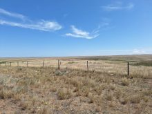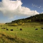
Looking back at October’s weather across the Prairies, we see it was yet another warm but dry month throughout much of the region.
The data shows the eastern Prairies was the warmest region, except for Calgary. Winnipeg earned top spot for both the warmest mean temperature and warmest difference from average.
As we move westward, these values drop until we get into the Peace River region of Alberta, which was average for the month.
Read Also
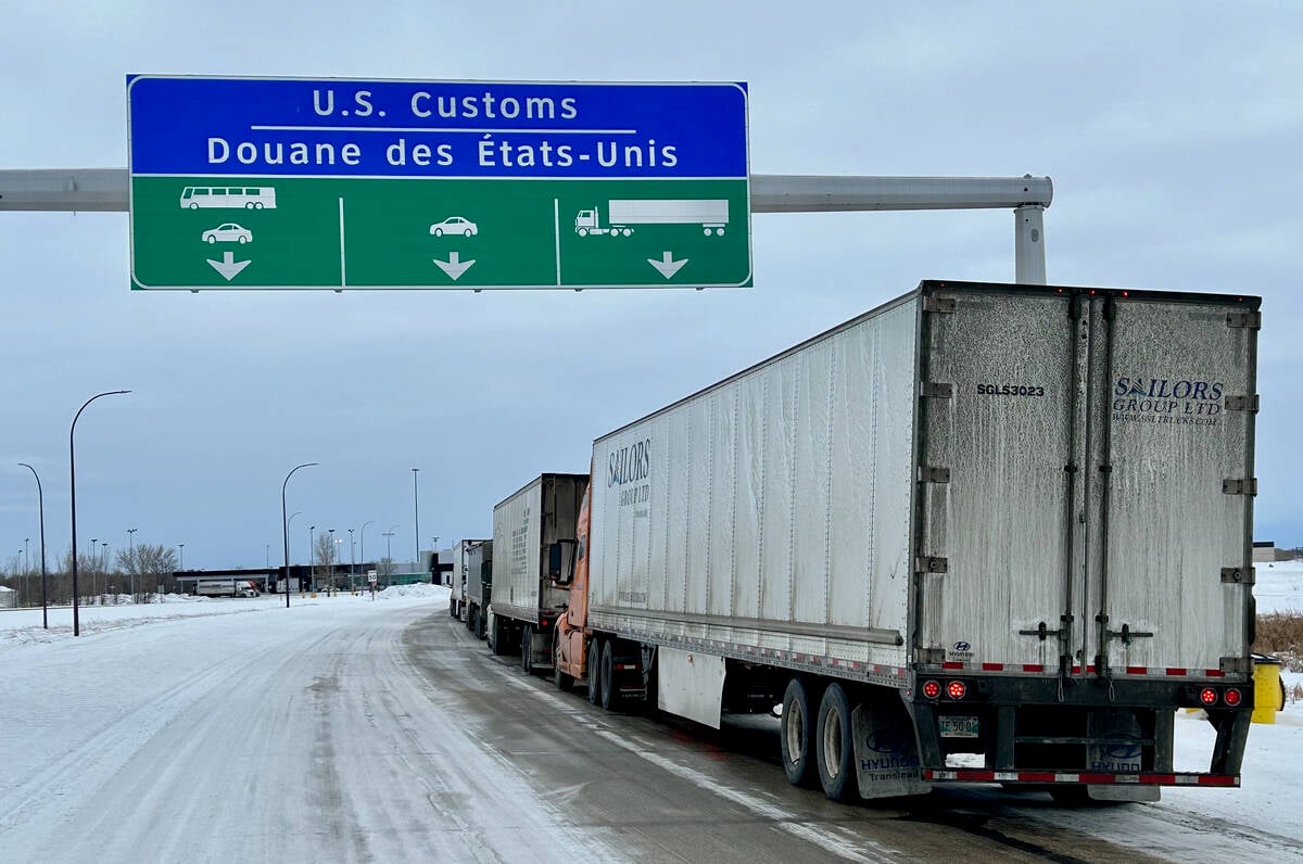
U.S. bill could keep out Canadian truckers
The Protecting America’s Roads Act, which was tabled in the U.S. House of Representatives at the beginning of October, would “rid the country of illegal immigrant commercial truck drivers and ineligible foreign nationals.”
The data also shows the Prairies were dry. None of the main reporting centres had above-average precipitation.
While overall precipitation amounts were low, the difference from average stood out in Manitoba and southern Saskatchewan, which typically see more precipitation in October than the rest of the Prairies.
Overall, it was a warmer than average October across the Prairies with below- to well-below-average precipitation.
Looking at the different predictions for the month, it looks to be a three-way tie between the Old Farmer’s Almanac, the reliable CFS model and the Canadian CanSIPS model. All three called for above-average temperatures with below-average precipitation.
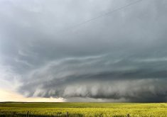
Now to the latest three to four month outlooks, which will encompass most of the coming winter. Last winter was considered to be almost a non-winter and the big question is whether we will pay the price this winter.
As for the computer models, NOAA’s outlook covers November to January. I have to extrapolate northward because its forecasts magically stop at the border, but it looks like NOAA is calling for near-average temperatures and precipitation over the next three months. The exception is southern and western Alberta, which is forecast to have a higher than average chance of above-average precipitation.
NOAA’s December to February forecast calls for colder than average temperatures across the Prairies with the same precipitation forecasts as in November to January.
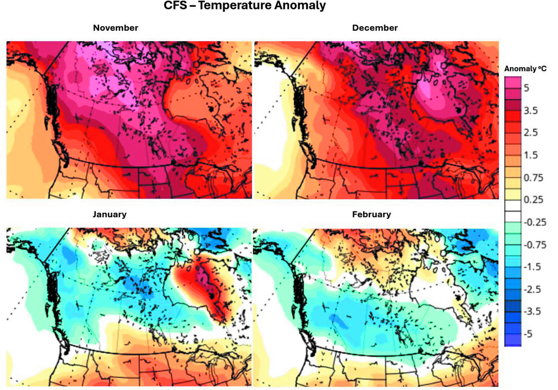
The usually reliable CFS model calls for well-above-average temperatures in November with below-average precipitation. Those temperatures are expected to continue into December, along with near to slightly below-average precipitation. By January, it shows below-average temperatures across the western and central Prairies, with southern Manitoba and Saskatchewan holding on to above-average temperatures.
Precipitation is forecast to be near average with far western Alberta possibly seeing above-average amounts. The below-average temperatures are then forecasted to move across the Prairies in February, along with near to slightly above-average precipitation.
CanSIPS is forecasting a warmer-than-average November, with eastern regions continuing to be the warmest. Western Alberta will see near to slightly above-average temperatures. Precipitation for November is forecast to be below-average.
The model then shows a switch to near to slightly below-average temperatures in December and then well below-average temperatures in January and February. Along with the cold temperatures, precipitation is forecasted to be near average.
The ECMWF model sings a different tune. Its latest forecast calls for near-average temperatures from November through to February, with Manitoba possibly seeing slightly above-average temperatures. Its precipitation forecast calls for a good chance of above-average precipitation across the Prairies, especially in the west.
I am going to stick with what I said a month ago, which was near to slightly below-average temperatures along with near to slightly above-average precipitation.