As good as our technology is, we are still not 100 percent sure how tornadoes come to be, so let’s look at:
- Supercell theory
- Rear-flank downdraft theory
- Tornado vortex theory
- Multiple vortex theory
The first two theories are tied together, as they both involve supercell thunderstorms. To understand these two theories, we need to understand what a supercell thunderstorm is.
Thunderstorms are fueled by the presence of warm, moist air near the surface and colder air aloft. A supercell thunderstorm has the ability to sustain a rotating updraft. These storms can rotate due to wind shear, or the change in wind speed and direction with height.
Read Also
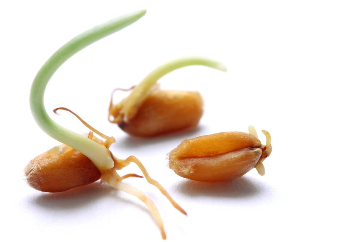
Manitoba farmers fight sprouted wheat after rain
Rain in mid-September has led to wheat sprouting problems in some Manitoba farm fields.
As a supercell thunderstorm evolves and the updraft intensifies, it draws in warm, moist air, which drives further development. With the right type of wind shear, the updraft becomes tilted, which does two things: it helps keep the updraft separate from the downdraft, allowing the storm to continue growing, and it starts to stretch and squeeze the rotating column of air vertically, making it spin faster.
This stretching and squeezing of the rising, rotating column of air is what scientists believe leads to development of tornadoes, but the exact mechanism is not fully understood.
This leads to the second theory of tornado formation: rearflank downdraft.
As the supercell thunderstorm evolves, a region of cool, descending air develops on the back side. This is the downdraft all storms have, but due to the wind shear tilting the storm, this downdraft does not come crashing down.
Instead, it can interact with the updraft by enhancing the low-level inflow and rotation, which in turn can be pulled into the updraft of the supercell, leading to increased likelihood of a tornado.
The tornado vortex theory is similar to the supercell theory. It states that tornadoes form when horizontal spinning air in the storm updraft is tilted vertically by a strong updraft.
These updrafts can be moving very fast and, as the air rises, it stretches and tightens or contracts the rotating column of air.
This causes an increase in spin rate due to conservation of angular momentum. This process is known as vortex stretching and the intensified spinning motion within the storm may lead to formation of a tornado.
As the name suggests, the main vortex within a thunderstorm contains multiple smaller vortices rotating within the main circulation. This results in a tornado with a more intricate appearance, often displaying a spiral pattern of swirling winds within the main funnel.
According to the multiple vortex theory, the main column of rising, rotating air serves as the parent vortex and provides the rotation necessary for tornado formation.
As the parent vortex intensifies, it can spawn smaller satellite vortices. These are typically found rotating around the main funnel cloud.
Interactions between these satellite vortices can create a complex pattern as the individual vortices merge, split and interact with each other. This can result in a rapid change in shape, size and intensity of the tornado.
How these satellite vortices are formed is still not known. The constantly changing environment within the storm and the landscape over which it is travelling can cause these satellite vortices to spin up grow larger, and then simply die away.