Saskatoon, Edmonton, and Dauphin saw their frost-free season range from 131 to 135 days, which is about 15 to 20 days longer than average.
Tag Archives Weather Vane column

Will Canadian Prairies see cooling trend as fall wears on?
July saw below average temperatures, August came in with near to slightly above average temperatures and September built on this warming trend with well above average temperatures for the month.
Extreme rain increases as planet warms
In this issue, we are going to wrap up our look at extreme rainfall by examining the different weather patterns that tend to be associated with these rainfall events.
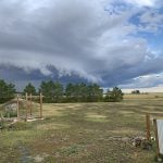
Storm dynamics and extreme rainfall
Besides moisture, instability and orographic lift, the next biggest factor that contributes to heavy or extreme rainfall is storm dynamics.
A warm start for fall weather
After a cooler than average July, August saw a reversal with all the main reporting stations reporting above average temperatures.
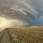
Factors that can cause heavy rainfall
There are several factors that can contribute to an extreme rainfall event, the first is atmospheric moisture.

Relative humidity linked to dew point
The dew point is the temperature that we would have to cool the air down to for condensation (or dew) to begin forming.

Heat waves combine sunshine and sinking air
As we continue our look at heat waves, I figured we should first define what they are by looking at the criteria Environment Canada uses to define heat events.
Above average temperatures expected
July was a cooler than average month right across the Prairies, with most places coming in just slightly below average.

Blocking patterns lead to heat waves
To get long-lasting heat waves, we need something known as a blocking pattern to develop.

