Fall is officially over and we are starting meteorological winter, so let’s look at the fall weather numbers.
Alberta had a very warm month compared to the long-term average. The Peace River region saw a mean monthly temperature around -1.2 C, which was a remarkable 6.5 C above average. The Edmonton region reported a mean monthly temperature of about -0.5 C, or about 5 C warmer than average. Calgary was the warm spot, with a mean monthly temperature of 2.3 C, which is about 4.7 C warmer than average.
As we often see with mild weather at this time of the year, precipitation was light in November. Amounts ranged from one to five millimetres in the Calgary and Edmonton regions and about 10 mm in the Peace region.
Read Also
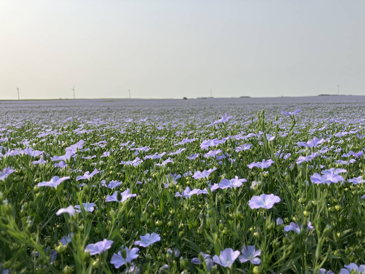
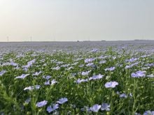
Huge Black Sea flax crop to provide stiff competition
Russia and Kazakhstan harvested huge flax crops and will be providing stiff competition in China and the EU.
Saskatchewan also saw a warmer than average November. Saskatoon was the warm spot with a mean monthly temperature of -1.3 C, which was about 4.7 C warmer than average. Regina reported a mean monthly temperature of -2.7 C, which was about 2.5 C warmer than average.
Precipitation was below average in Saskatoon with about six mm of water equivalent precipitation recorded. This is about 50 per cent of average. Regina, on the other hand, recorded 21.7 mm of water equivalent precipitation, which was above the long-term average of 15 mm.
Manitoba also reported above average temperatures. Winnipeg and Dauphin reported mean monthly temperatures of around -2 C, which is about 3 C warmer than average. Brandon was the cold spot with a mean monthly temperature of -3.2 C, about 2.5 C warmer than average.
Precipitation in the Brandon and Dauphin regions was below average, with both locations reporting around 13 mm of water equivalent compared to an average of 20 mm. Winnipeg saw above average amounts and was the wet spot for the Prairies with a reading of 32.3 mm, seven mm above average.
In the latest long-range forecasts for the next three months, the Old Farmers Almanac calls for well below average temperatures through to February, along with near to above average snowfall.
The Canadian Farmers Almanac calls for near average temperatures in December along with near to above average snowfall. January looks to have below average temperatures and above average precipitation. February will also see below average temperatures with below average precipitation.
As for the weather models, NOAA’s forecast calls for above average temperatures with western regions seeing the warmest conditions, along with below average precipitation. The CFS model calls for a very warm December and January with temperatures running from 2 to 3 C above average. Its latest forecast shows cooling in February with temperatures around average. Precipitation is forecasted to be near average.
The Canadian CanSIPS model forecast calls for a warmer than average winter with near average precipitation. December is forecasted to see well above average temperatures along with near average snowfall.
Its January forecast is for a slight cool down to near average temperatures over western regions and slightly above average in the east. Precipitation is once again forecasted to be near average. Things warm up again in February, with above average temperature forecasts for all three Prairie provinces and, you guessed it, near average precipitation.