The answer can be found in where the air originates and how the air levels interact
Glacier FarmMedia – Last weekend I received a question from one of my younger readers, which showed a good understanding of weather fundamentals. He asked, “why are high pressure systems in the summer so warm, but winter high pressures tend to be so cold?”
As a teacher in my other life, I believe in taking advantage of teachable moments — and this would definitely be one. So, instead of continuing our look at the top global weather stories of 2024, we are going to examine just why winter high pressure can sometimes get so darned cold.
The first thing that I need to point out is not all winter high-pressure systems are cold. How cold a high-pressure system can get depends largely on where it originates or forms.
Read Also
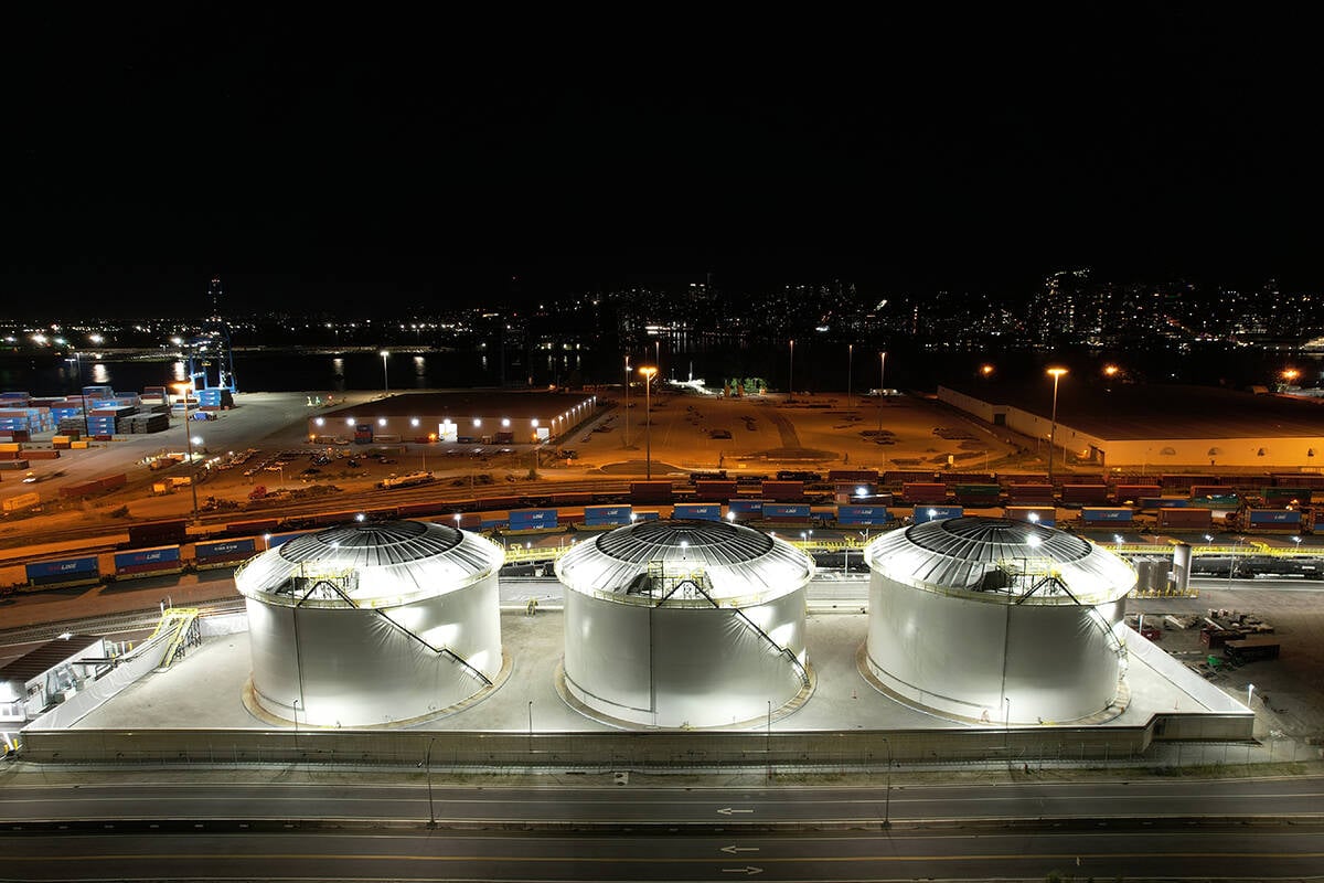
Canola oil transloading facility opens
DP World just opened its new canola oil transload facility at the Port of Vancouver. It can ship one million tonnes of the commodity per year.
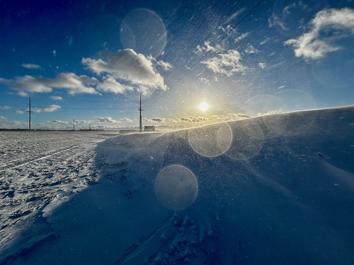
Arctic air masses, which are classified as continental Arctic (cA) air masses, form over the high latitudes of the Arctic, where conditions favour extreme cold. We are going to go through several factors that help to contribute to their frigid nature.
First and foremost is the low amount of solar insulation the Arctic experiences in the winter. This is the fancy way of saying the region does not see much sunshine in the winter. Due to the axial tilt of the Earth, Arctic regions see a very low sun angle, along with very short days. Areas north of the Arctic Circle can experience anywhere from a day or two of total darkness, all the way up to six months of darkness at the North Pole. Add to this the fact the ground and ocean is covered in snow and ice, which does a very good job reflecting any sunshine (known as high albedo). That same snow and ice cover also does a really good job of preventing any heat stored in the ground or ocean from transferring to the air.So, overall, there is little or no heat being added to the atmosphere directly during the winter in the Arctic.
In the absence of significant solar heating, the surface ends up losing heat to space through longwave (infrared) radiation. This process cools the surface further, particularly under clear skies, which are common in Arctic high-pressure systems. The Arctic atmosphere during winter is characterized by a strong temperature inversion. The surface cools much faster than the air above, trapping cold air near the ground while the air above stays relatively warm. It is still cold, just not as cold as the air at the ground. This warm air over cold air creates a stable atmosphere which resists vertical mixing that would otherwise help to mix some of that relatively warmer air with the cold surface air.
Last of our main reasons Arctic high-pressure can get so cold in the winter is that the Arctic region is often isolated from the mixing of warmer air masses due to the presence of strong jet streams and the polar vortex. Unlike our region of the world, know as the midlatitudes, different air masses regularly move in and out often mixing in the process — in the Arctic this does not happen nearly as often. This isolation allows cold air to accumulate and intensify over time.
Now we know why some winter high-pressure systems can get cold — but why do we sometimes only see milder winter highs, rather than brutal cold? Under certain conditions, Arctic high-pressure can be displaced southward, leading to cold outbreaks in midlatitude regions. This displacement occurs due to interactions between Arctic air masses, the polar jet stream, and large-scale atmospheric circulation patterns.
Under normal winter conditions, there is a strong polar jet stream in place over the Arctic which helps to separate the cold polar air from more moderate or warmer midlatitude air. When this happens, the jet stream flows relatively straight and does a good job keeping the cold air from flowing southwards. Occasionally waves or undulations can form along the jet stream. These waves can, over time, grow or amplify and create ridges, which allow warm air to flow northwards, and troughs, which allow cold air to spill southwards. These same ridges and troughs can sometimes stall, creating what is known as blocking patterns. When this occurs, we can see large outbreaks of cold air that can often make it quite far south and can last for weeks at a time.
In summertime high-pressure systems, the sinking air in a high will compress as it moves downwards. This compression heats the air allowing for some really hot temperatures to develop. The question is, why do we not see the same thing happen with Arctic highs? After all they often have much higher pressures than their summer counterparts, wouldn’t that mean lots of sinking air to heat up?
To answer this question, we have to remember that cold air sinks and warm air rises. In an Arctic high the pressure is usually really high because the air at the surface is so cold and heavy. Further up, as we discussed earlier, the air is a little warmer, this means there is very little down motion or subsidence. This means there is little compression occurring to heat the air. Also the low levels of moisture in the air means little longwave radiation can be trapped during our long winter nights, so as the high moves over our region and the sun sets, plenty of heat can be lost through radiative cooling. Overall, this means that any heating of the high that occurs during the day is offset by cooling overnight, resulting in little change to the overall temperature.
To summarize, Arctic high-pressure systems are unique because they have weak subsidence, strong radiational cooling, develop in an environment that supports cold temperatures and receive little compressional warm due to the stable nature of the high.
Daniel Bezte is a teacher by profession with a BA in geography, specializing in climatology, from the University of Winnipeg. He operates a computerized weather station near Birds Hill Park, Man. Contact him at dmgbezte@gmail.com.